Sparkbrook, Residential suburb and administrative ward in Birmingham, United Kingdom
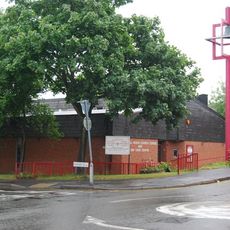
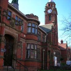
Sparkbrook is a residential suburb and administrative ward in southeastern Birmingham comprising residential streets, commercial areas, and community facilities. The district combines several functional zones that serve the everyday needs of residents.
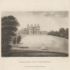
The area transformed from farmland into a residential district during the Industrial Revolution, taking its name from the Spark Brook stream. This development continues to shape the district's structure and character today.
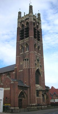
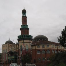
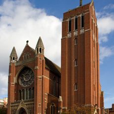
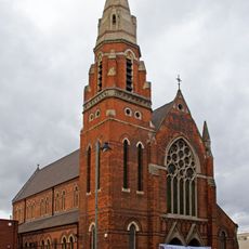
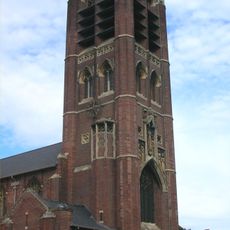
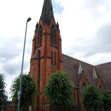
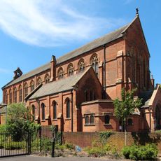
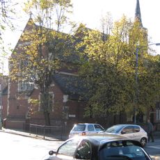
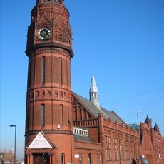
Multiple religious communities shape the neighborhood through their places of worship, markets, and dining establishments that reflect varied traditions. Walking through the area, visitors encounter this diversity directly in the shops and gathering spaces.
The area is well connected to central Birmingham through regular bus routes, and several nearby railway stations offer additional transport options. Visitors exploring the neighborhood should allow time to browse the various shops and community centers.
The district forms part of Birmingham's Balti Triangle, where restaurants serve traditional South Asian dishes to local customers. This culinary specialization makes it a recognized destination for those seeking this cuisine.
The community of curious travelers
AroundUs brings together thousands of curated places, local tips, and hidden gems, enriched daily by 60,000 contributors worldwide.