
Bishop's Castle, Medieval market town in Shropshire, England
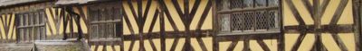
Located on a steep hillside, Bishop's Castle features over 160 listed buildings displaying Tudor and Georgian architectural elements along its Norman street layout.
The original motte and bailey castle was constructed in 1085 by the Bishop of Hereford to defend against Welsh raiders across the nearby border.
The town maintains a weekly market tradition dating from 1249 and celebrates annual events including the Michaelmas Fair and regional Beer Festival.
Visitors find accommodations at The Three Tuns and Castle Hotel, while the SpArC complex offers recreational facilities including tennis courts and performance spaces.
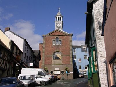
The restored Town Hall from 1760 stands as a central landmark where local markets and craft fairs gather the community throughout the year.
Location: Shropshire
Website: http://bishopscastle.co.uk
GPS coordinates: 52.49300,-2.99780
Latest update: May 27, 2025 08:48
Bury Ditches
5.1 km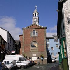
Bishop's Castle Town Hall
134 m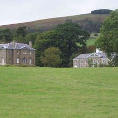
Linley Hall
4.7 km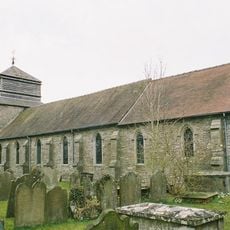
Church of St Peter
3.3 km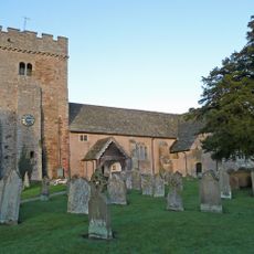
Church of St Michael and All Angels
4 km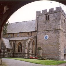
Church of St John the Baptist
392 m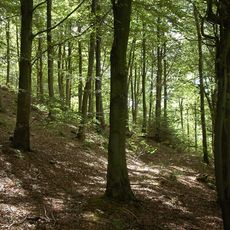
Pentre Wood
5 km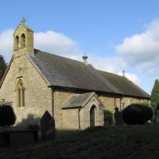
Church of the Holy Trinity
2.6 km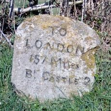
Milestone Approximately 1300 Metres To South-East Of The Junction Of Stank Lane With The B4385
2.5 km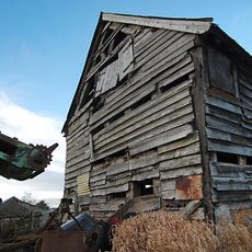
Barn approximately 60 metres to north-east of Lower Lea Farmhouse
2.8 km
Caer Din
5.1 km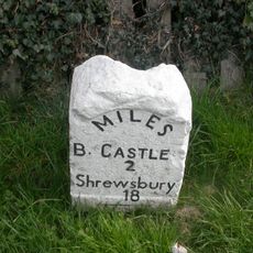
Milestone Approximately 470 Metres To North Of Junction Of A489 With B4383
2.9 km
Milestone Approximately 220 Metres To South Of Heblands Cottage
1.5 km
Stables At Linley Hall
4.8 km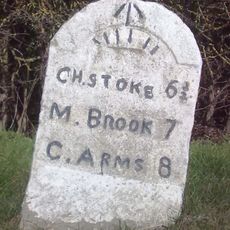
Milestone Approximately 1,000 Metres To North-East Of Lea Castle
3.6 km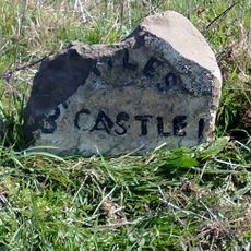
Milestone Approximately 300 Metres To East Of Lydham Manor
1.5 km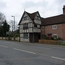
Lydham Castle
2.5 km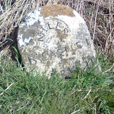
Milestone at NGR SO3310687794
1.3 km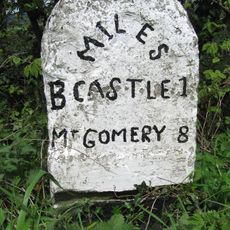
Milestone Approximately 260 Metres To South Of Heblands Cottages (That Part In Bishop's Castle Cp)
1.4 km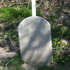
Milestone West Of Totterbank Bridge At Ngr So 364 876
4.2 km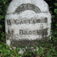
Milestone South South East Of Lea At Ngr So 353 887
2.9 km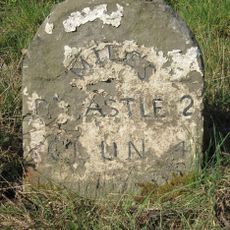
Milestone Approximately 180 Metres To North Of Wootton House
2.5 km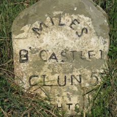
Milestone Approximately 550 Metres South-West Of Junction Of A488 With B4385
1 km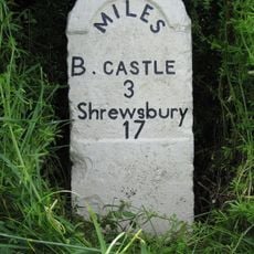
Milestone Approximately 130 Metres To South-West Of Greenfield Cottages
4.1 km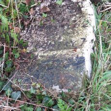
Milestone Approximately 390 Metres To East Of Upper Broughton Farmhouse
2.5 km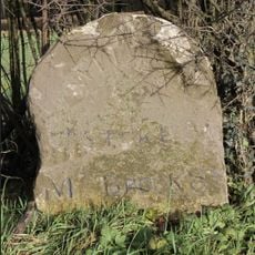
Milestone Approximately 230 Metres North West Of Junction Of A489 With B4383
2.6 km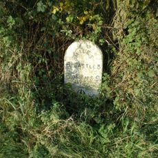
Milestone, Worthen/Walcot; W of Lydbury North
3.3 km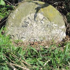
Milestone, E of Lydbury North
4.4 kmReviews
Visited this place? Tap the stars to rate it and share your experience / photos with the community! Try now! You can cancel it anytime.
Discover hidden gems everywhere you go!
From secret cafés to breathtaking viewpoints, skip the crowded tourist spots and find places that match your style. Our app makes it easy with voice search, smart filtering, route optimization, and insider tips from travelers worldwide. Download now for the complete mobile experience.

A unique approach to discovering new places❞
— Le Figaro
All the places worth exploring❞
— France Info
A tailor-made excursion in just a few clicks❞
— 20 Minutes