
Clowne, village and civil parish in Bolsover District, Derbyshire
Location: Bolsover
Shares border with: Barlborough, Staveley, Old Bolsover, Elmton with Creswell, Whitwell
Website: http://clownevillage.co.uk
GPS coordinates: 53.27600,-1.26300
Latest update: March 9, 2025 16:52
Creswell Crags
4.6 km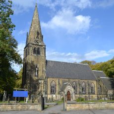
Church of the Immaculate Conception, Spinkhill
4.8 km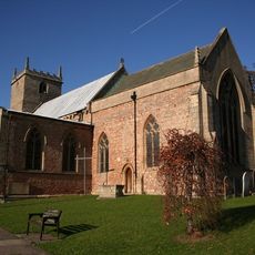
Church of St Lawrence
3.6 km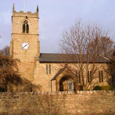
Church of St John the Baptist
711 m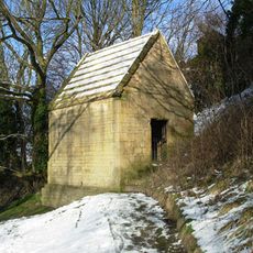
Bolsover Cundy House
5.2 km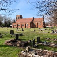
Church of St Mary Magdalen
3.6 km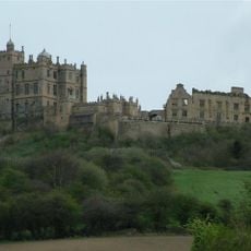
Bolsover Castle
5.5 km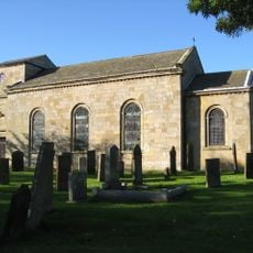
Church of St Peter
2.5 km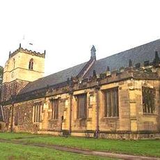
Church of St John the Baptist
5.9 km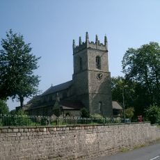
Church of St James
2.1 km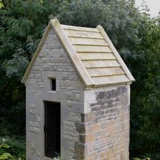
Former Presbyterian Chapel
5.6 km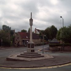
War Memorial
3.9 km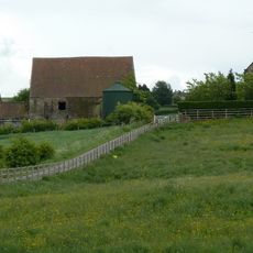
Beightonfields Priory
3.8 km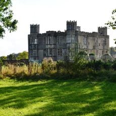
Barlborough Hall
3 km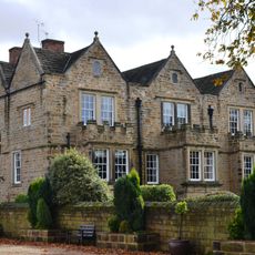
Park Hall
4.3 km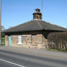
31, Station Road
5.6 km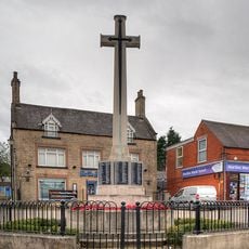
Bolsover War Memorial
5.6 km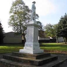
Staveley War Memorial
5.8 km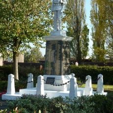
War Memorial
3.4 km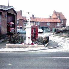
War Memorial
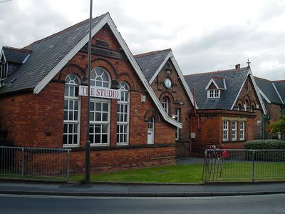
90 m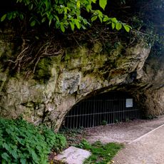
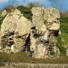
Palaeolithic and later prehistoric sites at Creswell Gorge, including Boat House Cave and Church Hole Cave
4.5 km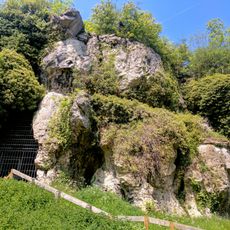
Palaeolithic and later prehistoric sites at Creswell Gorge including Pinhole Cave, Mother Grundy's Parlour and Robin Hood's Cave
4.5 km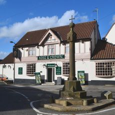
Village Cross
2.3 km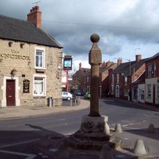
Clowne Cross
274 m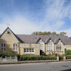
St Mary's House The School House
5.6 km
31, Market Place
5.6 km
Gazebo At Barlborough Hall
3 km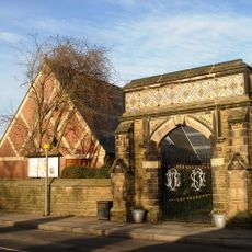
Stone Gateway And Attached Wall At Entrance To Memorial Gardens
2.3 kmVisited this place? Tap the stars to rate it and share your experience / photos with the community! Try now! You can cancel it anytime.
Discover hidden gems everywhere you go!
From secret cafés to breathtaking viewpoints, skip the crowded tourist spots and find places that match your style. Our app makes it easy with voice search, smart filtering, route optimization, and insider tips from travelers worldwide. Download now for the complete mobile experience.

A unique approach to discovering new places❞
— Le Figaro
All the places worth exploring❞
— France Info
A tailor-made excursion in just a few clicks❞
— 20 Minutes