
Wootton, suburb and civil parish in Northampton, England, UK
Location: West Northamptonshire
GPS coordinates: 52.20066,-0.88569
Latest update: April 7, 2025 08:38

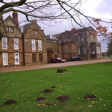
Delapré Abbey
2.7 km
Royal & Derngate
4 km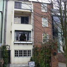
78 Derngate
3.9 km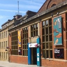
Northampton Museum and Art Gallery
4 km
Derngate
4 km
Collingtree Park
1.1 km
St Peter and St Paul's Church, Preston Deanery
2.7 km
Barnes Meadow
3.3 km
Northampton Filmhouse
4 km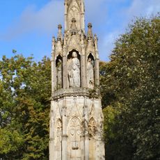
Eleanor Cross, Hardingstone
2 km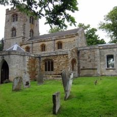
Church of St John the Baptist
2.5 km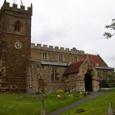
Church of St George
116 m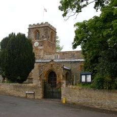
Church of St Columba, Collingtree
1.4 km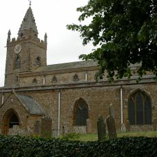
Church of the Holy Cross
2.7 km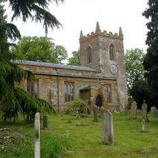
Church of St Edmund
1.4 km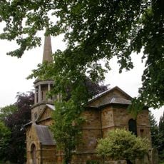
Church of St Mary the Virgin
3.9 km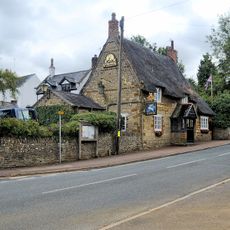
The White Hart Inn
3.9 km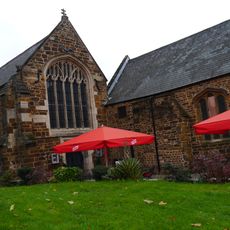
St John's Roman Catholic Church
3.9 km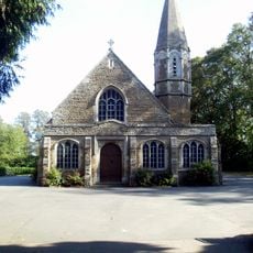
Mortuary Chapel
2.4 km
Royal Theatre
4 km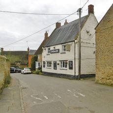
The Compass Public House
2.9 km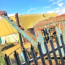
Northamptonshire Ironstone Railway Trust
3.5 km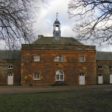
Stable Block At Delapre Abbey
2.7 km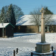
Milton Malsor War Memorial
3 km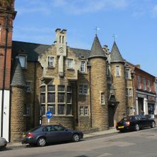
Former Memorial Hall, Castilian Street, Northampton
4.1 km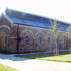
Former Midland Railway Locomotive Shed
3.2 km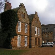
Delapre Abbey
2.7 km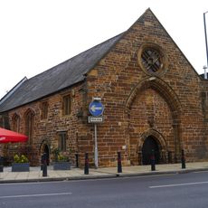
St John's Hall
3.9 kmVisited this place? Tap the stars to rate it and share your experience / photos with the community! Try now! You can cancel it anytime.
Discover hidden gems everywhere you go!
From secret cafés to breathtaking viewpoints, skip the crowded tourist spots and find places that match your style. Our app makes it easy with voice search, smart filtering, route optimization, and insider tips from travelers worldwide. Download now for the complete mobile experience.

A unique approach to discovering new places❞
— Le Figaro
All the places worth exploring❞
— France Info
A tailor-made excursion in just a few clicks❞
— 20 Minutes