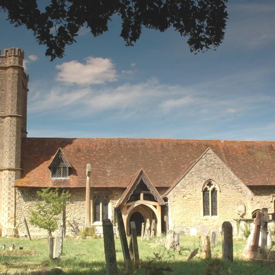
Warborough, village and civil parish in South Oxfordshire, England
AroundUs brings together thousands of curated places, local tips, and hidden gems, enriched daily by 60,000 contributors worldwide. Discover all places nearby (South Oxfordshire).
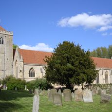
Dorchester Abbey
2 km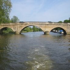
Shillingford Bridge
1.7 km
Dorchester Abbey Museum
2 km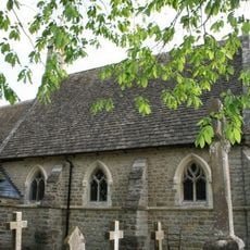
Church of St Birinus
1.9 km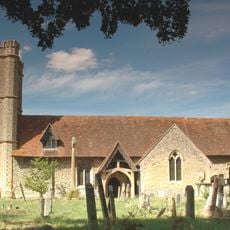
Church of St Lawrence
107 m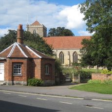
The Toll House And Attached Churchyard Wall
2 km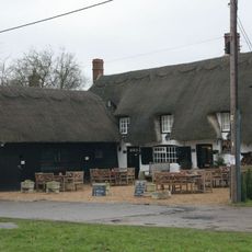
The Six Bells Inn
242 m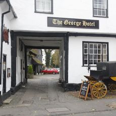
The George Hotel
2.1 km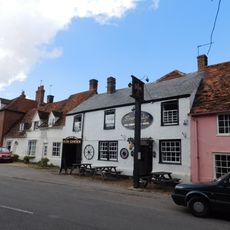
Fleur De Lys Inn
2 km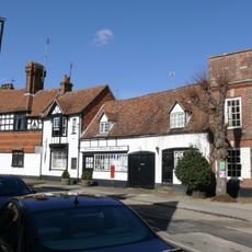
Post Office
2 km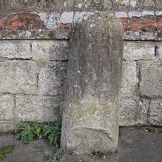
Milestone Approximately 20 Metres West Of The Toll House
2 km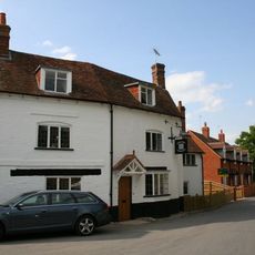
The Chequers Public House
2 km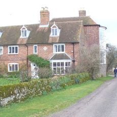
Overy Farmhouse
1.7 km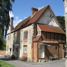
Abbey Guest House
2 km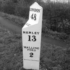
Milepost Approximately 500 Metres North West Of Junction Of Wharf Road
906 m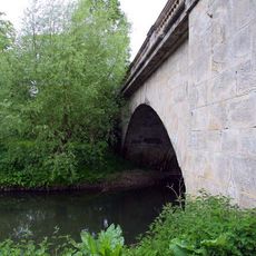
The Bridge And Causeway
1.8 km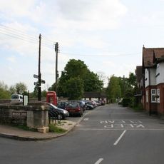
K6 Telephone Kiosk, Bridge End
2 km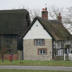
Barn Approximately 1 Metre North West Of The Manor House
288 m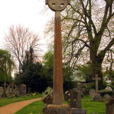
Churchyard Cross Approximately 10 Metres South Of Church Of St Lawrence
106 m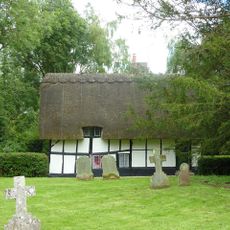
4, High Street
1.9 km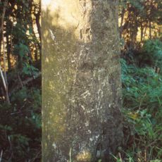
Milestone Approximately 800 Metres South East Of Junction With A329
1.5 km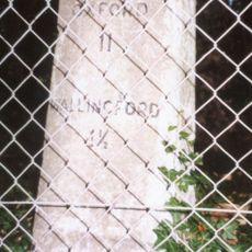
Milestone At Su 5977 9195
1.8 km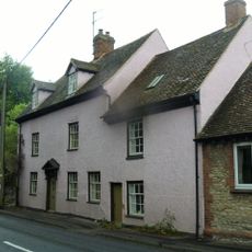
Bridge House
1.5 km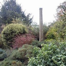
Churchyard Cross Approximately 6 Metres South Of Dorchester Abbey
2 km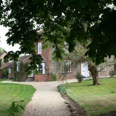
Bridge House
1.9 km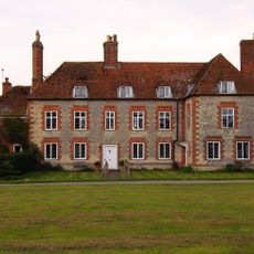
The Manor House
305 m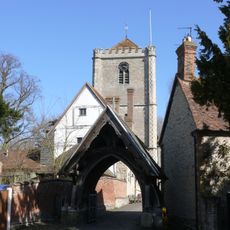
Lychgate Approximately 40 Metres West Of Dorchester Abbey
2 km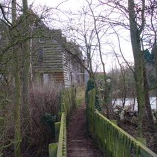
Overy Mill
1.6 kmDiscover hidden gems everywhere you go!
From secret cafés to breathtaking viewpoints, skip the crowded tourist spots and find places that match your style. Our app makes it easy with voice search, smart filtering, route optimization, and insider tips from travelers worldwide. Download now for the complete mobile experience.

A unique approach to discovering new places❞
— Le Figaro
All the places worth exploring❞
— France Info
A tailor-made excursion in just a few clicks❞
— 20 Minutes
