
Harpsden, village and civil parish in South Oxfordshire district, Oxfordshire, England
Location: South Oxfordshire
Shares border with: Rotherfield Greys, Shiplake, Henley-on-Thames, Rotherfield Peppard, Sonning Common, Binfield Heath with Eye and Dunsden
GPS coordinates: 51.52400,-0.90200
Latest update: March 6, 2025 17:12
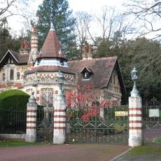
Friar Park
2 km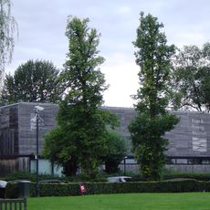
River and Rowing Museum
1 km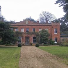
Crowsley Park
3.7 km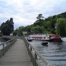
Marsh Lock
1.1 km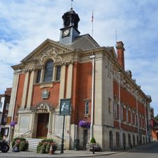
Town Hall
1.5 km
Conway's Bridge
1.5 km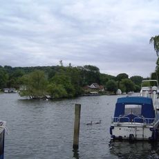
Rod Eyot
1.1 km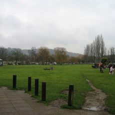
Mill Meadows
1 km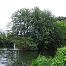
Ferry Eyot
1.6 km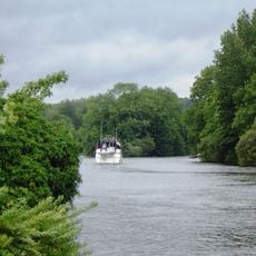
Handbuck Eyot
1.8 km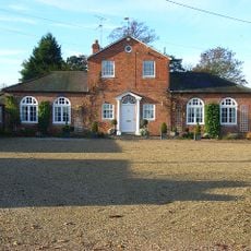
Bellehatch Park House
1.9 km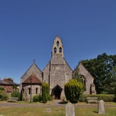
Holy Trinity Church
1.2 km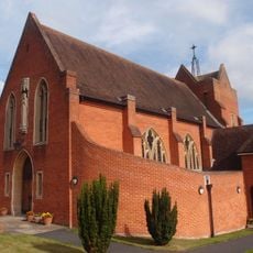
Roman Catholic Church of the Sacred Heart
655 m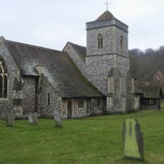
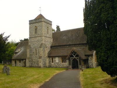
Church of St Margaret
233 m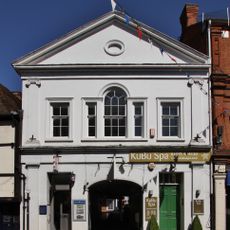
The Old Assembly Rooms
1.6 km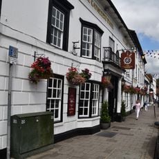
Catherine Wheel Hotel
1.5 km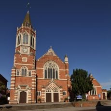
Congregational Church
1.2 km
Middle Lodge In Friar Park
1.8 km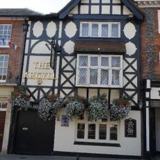
The Argyle Public House
1.5 km
Lower Shiplake War Memorial
1.7 km
The Bottle And Glass Public House
2.6 km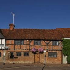
11, Thameside
1.4 km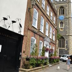
Longlands
1.5 km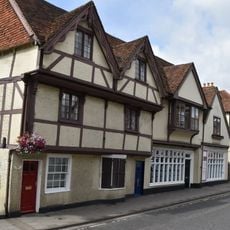
48 And 50, Hart Street
1.5 km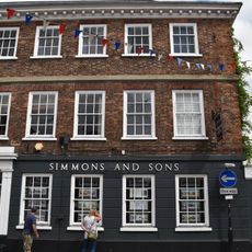
32, Bell Street
1.6 km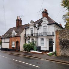
47 And 49, Gravel Hill
1.5 km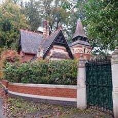
Railed Wall Piers And Gates At Middle Lodge In Friar Park
1.8 km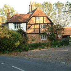
Shiplake Rise Farmhouse
2.8 kmVisited this place? Tap the stars to rate it and share your experience / photos with the community! Try now! You can cancel it anytime.
Discover hidden gems everywhere you go!
From secret cafés to breathtaking viewpoints, skip the crowded tourist spots and find places that match your style. Our app makes it easy with voice search, smart filtering, route optimization, and insider tips from travelers worldwide. Download now for the complete mobile experience.

A unique approach to discovering new places❞
— Le Figaro
All the places worth exploring❞
— France Info
A tailor-made excursion in just a few clicks❞
— 20 Minutes