
Pembridge, village in Herefordshire, UK
Location: Herefordshire
Website: http://pembridgeparishcouncil.gov.uk/#p=home
GPS coordinates: 52.21800,-2.89300
Latest update: March 6, 2025 06:01
Church of St Peter
2.8 km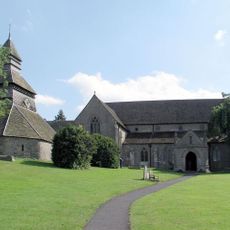
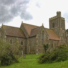
Church of St Mary
78 m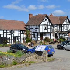
The New Inn
67 m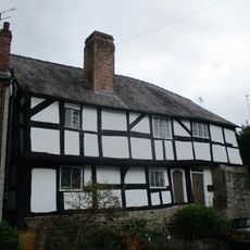
Church House
69 m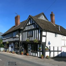
The Greyhound Inn
89 m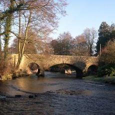
Bridge Over River Arrow
352 m
Bateman Arms
4.1 km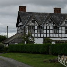
Clear Brook
866 m
Carved bench sculpture
6.1 km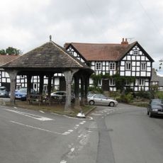
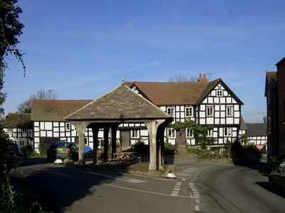
The Market Hall
72 m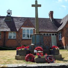
Pembridge War Memorial
145 m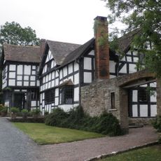
Luntley Court
2.4 km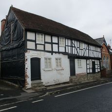
Highways
82 m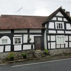
The Old Forge
114 m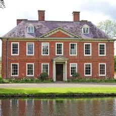
Court Of Noke
2.4 km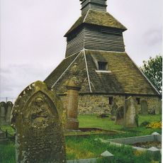
Belfry Approximately 5 Metres North-east Of The Church Of St Mary
49 m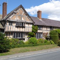
West End Farmhouse
298 m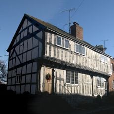
2, Bridge Street
137 m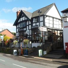
Ye Old Steppes
13 m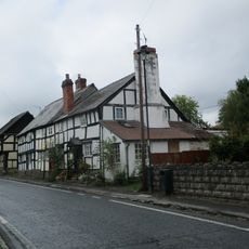
Oak View
202 m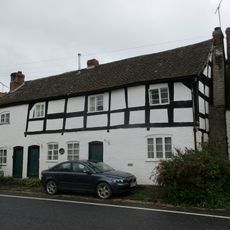
Range Of Three Tenements To West Of The Old Forge
101 m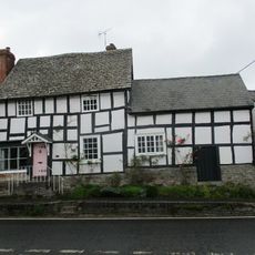
Bank House
47 m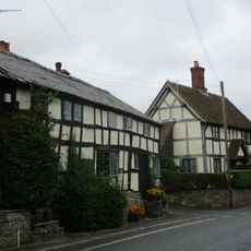
Pilgrims
142 m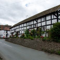
Duppa's Almshouses
41 m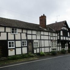
Spire View And Victoria Place
85 m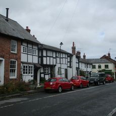
Forsythia And West Leigh
147 m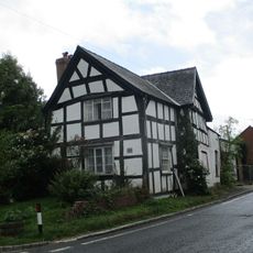
Pump House
191 m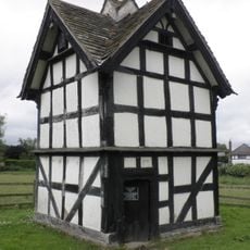
Luntley Court Dovecote
2.4 kmReviews
Visited this place? Tap the stars to rate it and share your experience / photos with the community! Try now! You can cancel it anytime.
Discover hidden gems everywhere you go!
From secret cafés to breathtaking viewpoints, skip the crowded tourist spots and find places that match your style. Our app makes it easy with voice search, smart filtering, route optimization, and insider tips from travelers worldwide. Download now for the complete mobile experience.

A unique approach to discovering new places❞
— Le Figaro
All the places worth exploring❞
— France Info
A tailor-made excursion in just a few clicks❞
— 20 Minutes