Enable Location

We need your location to show you interesting places around you

Discover nearby places

Find interesting locations and hidden gems around you

Precise directions

Get accurate directions and distances to places

Your location is never shared with other users. It's only used when you tap the location button.

Herefordshire

Log in to your account

Start exploring — it's free

Trusted by 62,266 travelers worldwide

Continue with Google
Continue with Apple
or

We will send you a code to connect

By continuing, you accept our Terms and Conditions and our Privacy Policy

Check your inbox

We've sent a pincode in your inbox. Please enter the code below.

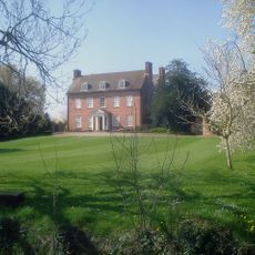
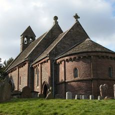
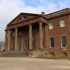
Herefordshire, Administrative county in western England

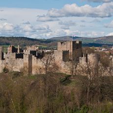
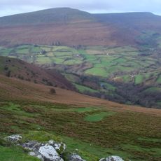
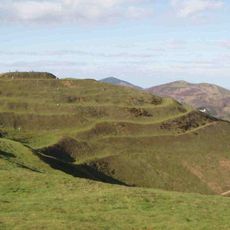
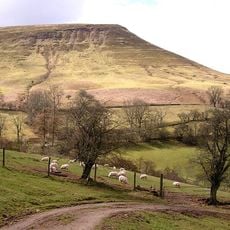
Herefordshire is an administrative area in western England shaped by gentle hills and wide plains crossed by the River Wye. The landscape stretches over several valleys and small towns, with sandstone ridges reaching over 2,200 feet (670 m) in some parts and forming a western boundary.

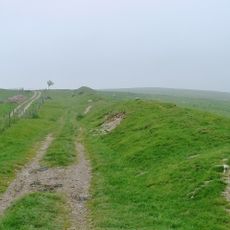
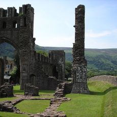
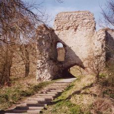
The area was a site of conflict with Wales for centuries until King Offa extended the Mercian frontier to the Wye and built the earthwork known as Offa's Dyke. This fortification marked a clear line between Anglo-Saxon and Celtic territories from the 8th century onward and shaped the political development of the region for generations.

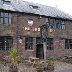
The area is known for its traditional cider making, visible today in small breweries and at local markets across the towns. Visitors can notice the scent of orchards and experience the centuries-old connection locals have with apple and pear growing, which shapes rural life here.

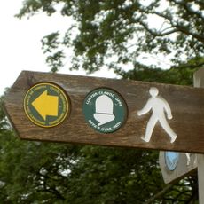
The area is best explored by car, as many small towns and rural stretches are connected by narrow roads. Visitor centers in larger towns offer maps and guidance on walking routes along the river and through the hills, accessible throughout the year.

The area is England's second-largest hop producer after London and supplies breweries across the country. Hop gardens with their tall frames shape the summer landscape and recall an agricultural tradition that has continued here since medieval times.

The community of curious travelers

AroundUs brings together thousands of curated places, local tips, and hidden gems, enriched daily by 60,000 contributors worldwide.

Start exploring
Location
Capital city
Hereford
Shares border with
Shropshire, Worcestershire, Gloucestershire, Powys, Gwent
GPS coordinates
52.08333,-2.75000
Latest update
December 15, 2025 02:31
« Herefordshire - Administrative county in western England » is provided by Around Us (aroundus.com). Images and texts are derived from Wikimedia project under a Creative Commons license. You are allowed to copy, distribute, and modify copies of this page, under the conditions set by the license, as long as this note is clearly visible.

Discover hidden gems everywhere you go!

From secret cafés to breathtaking viewpoints, skip the crowded tourist spots and find places that match your style. Our app makes it easy with voice search, smart filtering, route optimization, and insider tips from travelers worldwide. Download now for the complete mobile experience.

Around Us App Screenshot

A unique approach to discovering new places

Le Figaro

All the places worth exploring

France Info

A tailor-made excursion in just a few clicks

20 Minutes

Around Us
Travel Guide & Maps
Download

Send to your phone

QR Code
1

Open the camera app on your mobile.

2

Point at the QR code with your camera. A notification will appear.

3

Tap the notification to open the link.