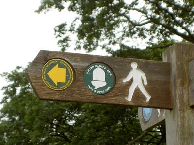
Offa's Dyke Path, National Trail across England and Wales border from Sedbury Cliffs to Prestatyn, GB
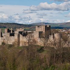
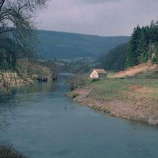
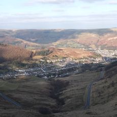
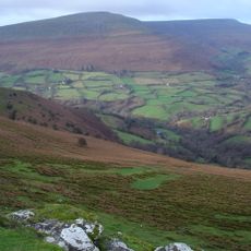
Offa's Dyke Path is a National Trail in England and Wales that runs from Sedbury Cliffs near the Severn estuary to the coastal town of Prestatyn, covering 177 miles (285 kilometers) through lowland valleys and high ridges. The trail weaves back and forth across the border, passing through farmland, forests, hilltops, and moorland, with signposts marking each crossing and wooden stiles linking pastures.
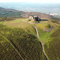
A Mercian king ordered the construction of the original earthwork in the eighth century to mark the boundary between his kingdom and Welsh lands. The modern walking route was officially opened in the 1970s, following long sections of the ancient embankment where traces remain visible in the landscape.
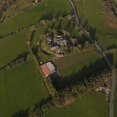
Walkers on this route pass stone cottages with gardens open directly onto the hillside, along with village pubs where locals speak both languages in conversation. Wooden gate stiles appear every few hundred yards, and farmers often give directions to hikers heading toward the next town or the border crossing.
Walkers typically need around 12 days to finish the full length, though many choose shorter sections linked by towns with accommodation and bus stops. The path is clearly marked, but waterproof gear and sturdy boots are advisable since some ridge sections become muddy after rain and gain height over open moorland.
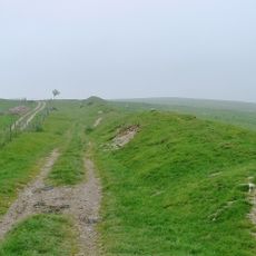
The highest point sits at 2300 feet (700 meters) on Hatterall Ridge within the Brecon Beacons, where walkers can look out over both English and Welsh countryside at once. In several places the path runs directly along the top of the ancient earthwork, where the ditch and bank remain visible through the grass.
The community of curious travelers
AroundUs brings together thousands of curated places, local tips, and hidden gems, enriched daily by 60,000 contributors worldwide.