Slapton, Historical village in South Hams, England
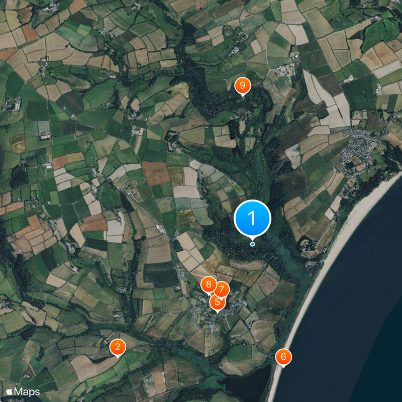
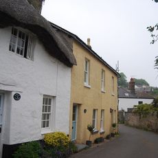
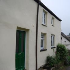
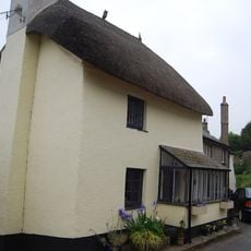
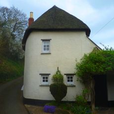
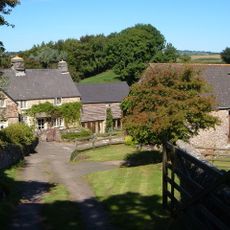
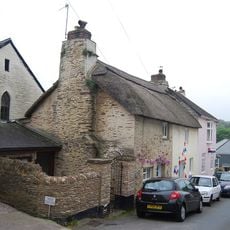
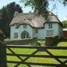
Slapton is a village in South Hams that spreads across expansive land beside Start Bay and features scattered houses with views of the coastline. The settlement is defined by a large freshwater lake called Slapton Ley, which shapes the landscape significantly.
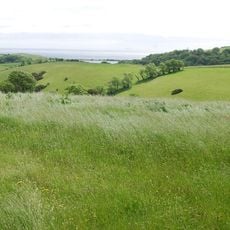
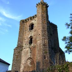
The parish church of St. James holds historical records from the 17th century and shows the long religious history of the place. The manor was once under the jurisdiction of Exeter and was subject to specific administrative duties.
The Field Studies Council runs an educational center here that focuses on environmental sciences and connects visitors with local nature and marine ecosystems. This facility makes the place an important learning destination for schools and those interested in the natural world.
Visitors find two pubs, a village shop, a village hall, and two churches for everyday needs, plus several campsites for longer stays. A recreation field offers additional leisure activities for families and guests.
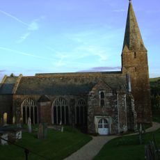
During World War II, Slapton Sands served as a training ground for Operation Tiger, a rehearsal for D-Day that resulted in military losses. This event remains present today in memorials and local memory.
Location: South Hams
GPS coordinates: 50.30000,-3.65000
Latest update: December 20, 2025 14:53
Slapton Castle
2.2 km
Church of St James
882 mPair Of Tomb Chests About 15 Metres North Of North Porch Of Church Of St James
866 mOutbuilding Adjoining South West Of Church Wells
971 m
Slapton Sands
1.6 km
Tower Of Collegiate Chantry Of St Mary
809 mProspect Cottage
849 m
Bridge Immediately North Of Higher North Mill
1.9 kmProspect House
825 mLangford Down Cottage
1.7 kmCrossbow Cottage
855 m
Vale Cottages
1 km
Milestone About 180 Metres South South East Of Brockhal Lodge. Grid Ref 834 455
828 m
Maple Cottage
873 m
Pound Cottage
854 mStart Cottage
1.9 kmCaroline Cottage And Churchways Cottage
929 m
Carlane Cottage
908 mHeather Cottage And Kimberley Nurseries
1.1 km
Thorn Farmhouse Including Linhay Adjoining North East
2.4 km
1 and 2, Sands Road
926 m
Valley Cottage
892 mGarden Walls Immediately East Of Tower Of Collegiate Chantry Of St Mary
795 m
The Old Farmhouse Including Front Garden Area Wall To East
2.7 kmDearswell Farmhouse Including Front Garden Area Wall To South
2.5 kmHansel Including Front Garden Area Wall
1.7 kmHansel Cottage And Adjoining Outbuilding To East And Front Garden Area Wall
1.7 kmHigher North Mill
1.9 kmVisited this place? Tap the stars to rate it and share your experience / photos with the community! Try now! You can cancel it anytime.
Discover hidden gems everywhere you go!
From secret cafés to breathtaking viewpoints, skip the crowded tourist spots and find places that match your style. Our app makes it easy with voice search, smart filtering, route optimization, and insider tips from travelers worldwide. Download now for the complete mobile experience.
A unique approach to discovering new places❞
— Le Figaro
All the places worth exploring❞
— France Info
A tailor-made excursion in just a few clicks❞
— 20 Minutes