
Rosliston, village and civil parish in South Derbyshire district, Derbyshire, England
Location: South Derbyshire
Shares border with: Drakelow, Walton upon Trent, Coton in the Elms, Lullington, Netherseal, Linton, Cauldwell
GPS coordinates: 52.74800,-1.64200
Latest update: May 17, 2025 06:57
Catton Hall
4.1 km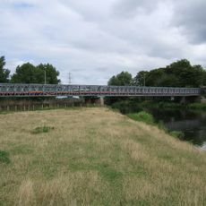
Bailey Bridge
3.2 km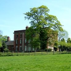
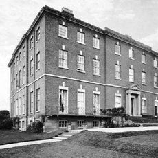
Walton Hall
3 km
Gresley Priory
5.2 km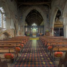
Church of St Andrew, Clifton Campville
6.1 km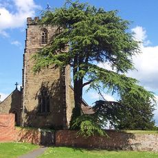
St Peter's Church, Netherseal
6 km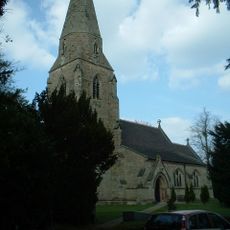
All Saints' Church, Lullington
3.9 km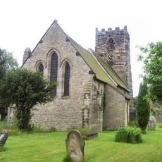
St Lawrence's Church
3 km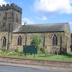
Parish Church of St Mary and Saint George
5.2 km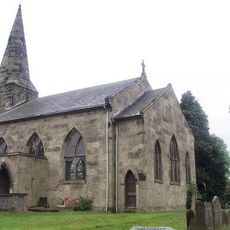
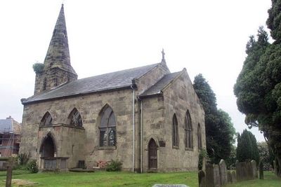
St Mary's Church, Rosliston
86 m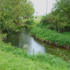
River Mease SSSI
5.9 km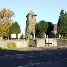
Church of St Matthew
5.4 km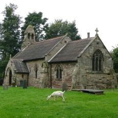
Church of St Giles
1.2 km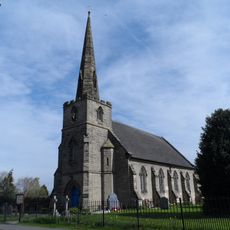
Church of St Mary
1.4 km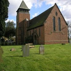
Church of Holy Trinity
5.5 km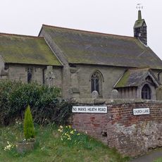
Church of St Matthew
6.8 km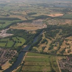
Drakelow Viaduct
4.3 km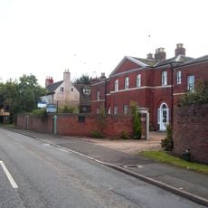
Overseal House
5.7 km
Milepost
4.2 km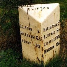
Milepost At Ngr Sk 2477 1091
5.9 km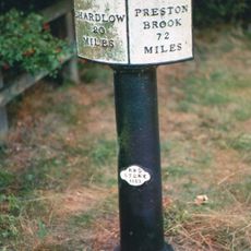
Trent And Mersey Canal, Canal Milepost At Sk 2033 1848
4.3 km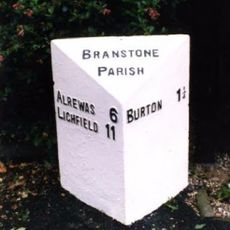
Milepost, near Branston Depot, Paget School
4.5 km
Sharpes Pottery Museum
6.3 km
Village Hall
3.9 km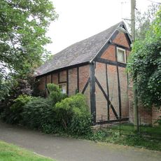
Former Stable Approximately 10 Yards North West Of The Old Vicarage
5.4 km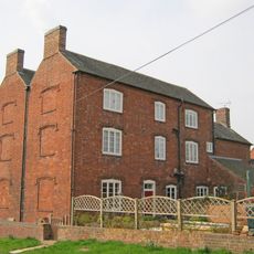
Hurst Farmhouse
6.8 km
Churchyard Walls And Gates To All Saints Church
3.9 km
Milepost, N of Barton Turns
4.1 kmVisited this place? Tap the stars to rate it and share your experience / photos with the community! Try now! You can cancel it anytime.
Discover hidden gems everywhere you go!
From secret cafés to breathtaking viewpoints, skip the crowded tourist spots and find places that match your style. Our app makes it easy with voice search, smart filtering, route optimization, and insider tips from travelers worldwide. Download now for the complete mobile experience.

A unique approach to discovering new places❞
— Le Figaro
All the places worth exploring❞
— France Info
A tailor-made excursion in just a few clicks❞
— 20 Minutes