
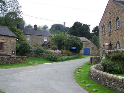
Hollinsclough, village and civil parish in Staffordshire, UK
Location: Staffordshire Moorlands
Shares border with: Longnor, Hartington Upper Quarter, Quarnford, Heathylee, Hartington Middle Quarter
GPS coordinates: 53.19590,-1.90340
Latest update: March 5, 2025 10:01
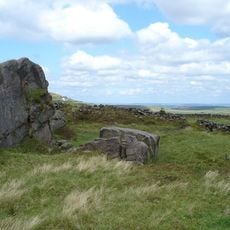
Oliver Hill
4 km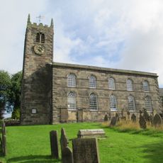
St Bartholomew's Church, Longnor
2.8 km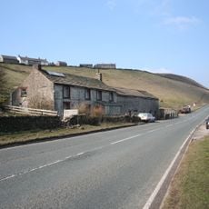
Axe Edge
5.1 km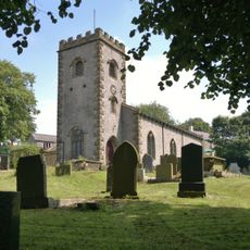
Church of St Michael
2.6 km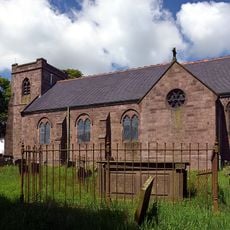
Church of St Paul
4 km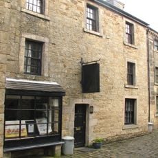
Parrots Restaurant
2.8 km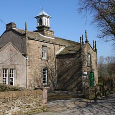
Church of St Agnes
25 m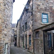
8, Chapel Street
2.8 km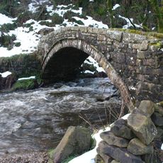
Washgate Bridge
1.6 km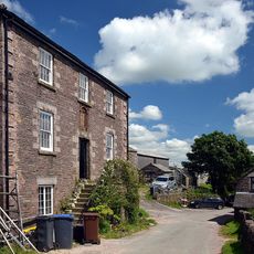
Weslyan Chapel
4.1 km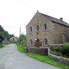
Bethel Chapel
47 m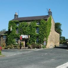
Horseshoe Inn
2.8 km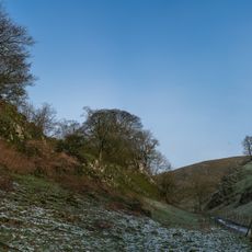
Dowel Cave
1.5 km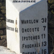
Mile Post, Longnor 1/2 Mile
3.1 km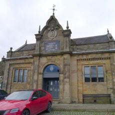
The Market Hall
2.8 km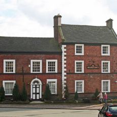
Crewe and Harpur Arms
2.8 km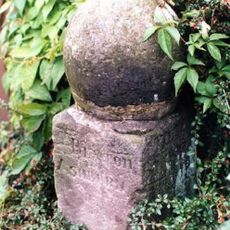
Milestone south of Longnor market place
2.8 km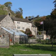
Glutton Grange And Adjoining Barn
2 km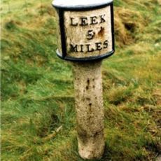
Mile Post Leek 5 Miles
5 km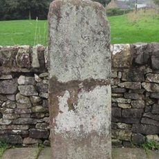
The Cross 7 metres west of Crewe And Harpur Arms
2.8 km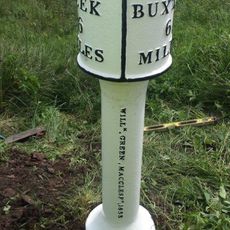
Milepost Leek 6 Miles
3.7 km
Folds End Farmhouse
3 km
Anthony Hill bowl barrow
4.5 km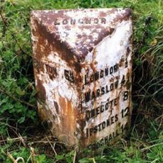
Mile Post (Longnor Half Mile)
2 km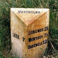
Milepost, Merrill Grove Farm
2.8 km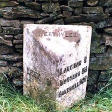
Milepost, W of Heath House
2.4 km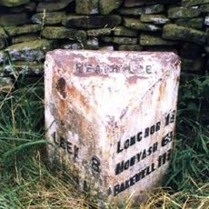
Milepost, near Lowe House, Barrow Moor
2.1 km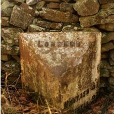
Milepost, E of Longnor, on road to Crowdecote
3.1 kmVisited this place? Tap the stars to rate it and share your experience / photos with the community! Try now! You can cancel it anytime.
Discover hidden gems everywhere you go!
From secret cafés to breathtaking viewpoints, skip the crowded tourist spots and find places that match your style. Our app makes it easy with voice search, smart filtering, route optimization, and insider tips from travelers worldwide. Download now for the complete mobile experience.

A unique approach to discovering new places❞
— Le Figaro
All the places worth exploring❞
— France Info
A tailor-made excursion in just a few clicks❞
— 20 Minutes