
Ambrosden, village and civil parish in Cherwell district, Oxfordshire, England
Location: Cherwell
Shares border with: Launton, Bicester, Chesterton, Merton, Arncott, Blackthorn
GPS coordinates: 51.87600,-1.11900
Latest update: March 6, 2025 05:56
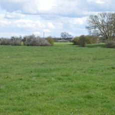
Arncott Bridge Meadows
1.5 km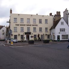
Kings Arms Hotel
3.1 km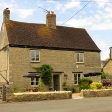
The Launton Arms
2.2 km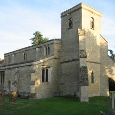
Church of St Mary
2.8 km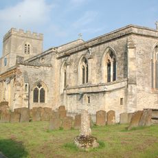
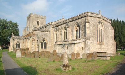
Church of St Mary the Virgin
807 m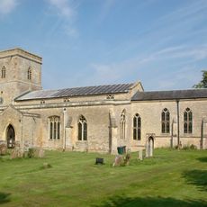
Church of St Swithin
3.8 km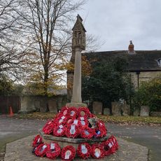
Bicester War Memorial
3.3 km
Bell Inn
3.5 km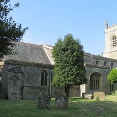
Church of St Edburg, Bicester
3.3 km
The Bull Inn
2.4 km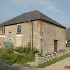
Methodist Chapel
2.7 km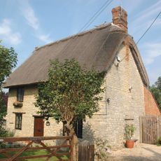
Holly Tree Cottage
1 km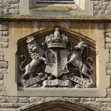
The Old Court House
3.2 km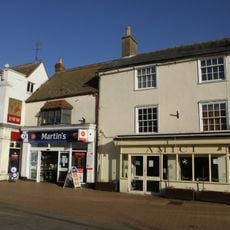
20, Sheep Street
3.3 km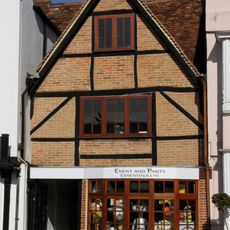
17, Market Square
3.2 km
45 And 52, Market Square
3.2 km
44, Market Square
3.2 km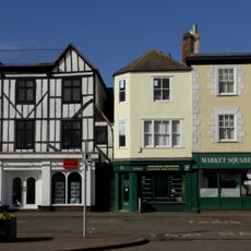
46, 48 And 51, Market Square
3.2 km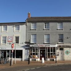
7 And 8, Market Square
3.2 km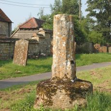
Ambrosden Cross
791 m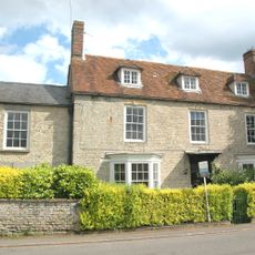
Park Farmhouse
899 m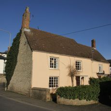
9, London Road
3 km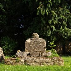
Churchyard Cross Approximately 6 Metres South Of Church Of St Mary
2.8 km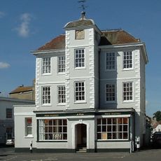
47, Market Square
3.2 km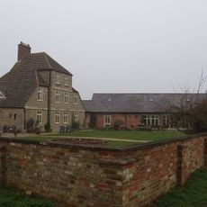
Merton Grounds Farmhouse
3 km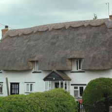
Miropa
2.7 km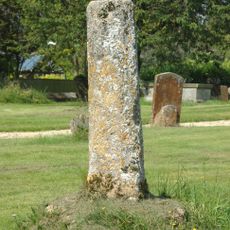
Church of St Swithun, Churchyard Cross Approximately 25 Metres to South East
3.8 km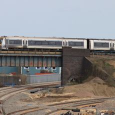
Bicester intersection bridge
2.9 kmVisited this place? Tap the stars to rate it and share your experience / photos with the community! Try now! You can cancel it anytime.
Discover hidden gems everywhere you go!
From secret cafés to breathtaking viewpoints, skip the crowded tourist spots and find places that match your style. Our app makes it easy with voice search, smart filtering, route optimization, and insider tips from travelers worldwide. Download now for the complete mobile experience.

A unique approach to discovering new places❞
— Le Figaro
All the places worth exploring❞
— France Info
A tailor-made excursion in just a few clicks❞
— 20 Minutes