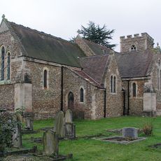
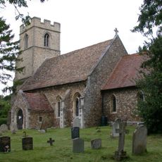
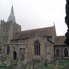
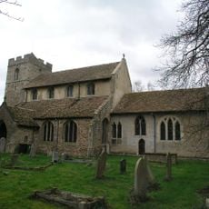
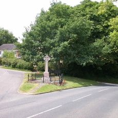
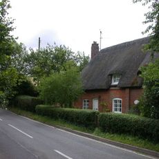
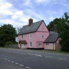
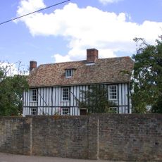
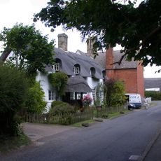
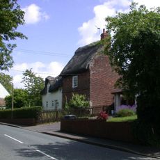
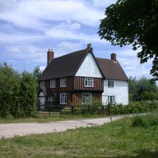
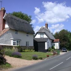
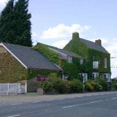
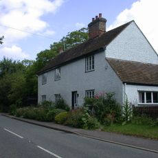
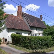
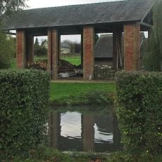
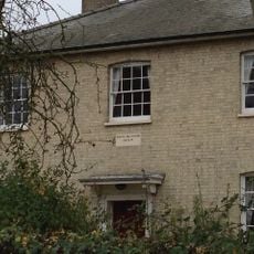
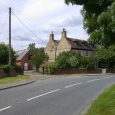
Bourn, village and civil parish in South Cambridgeshire, England, UK
The community of curious travelers
AroundUs brings together thousands of curated places, local tips, and hidden gems, enriched daily by 60,000 contributors worldwide.
Location
Shares border with
Cambourne
GPS coordinates
52.19000,-0.06100
Latest update
March 5, 2025 06:13
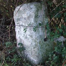
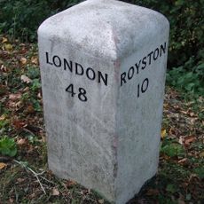
![Milestone, southern approach to bridge over railway [disused]](https://img5.digsty.com/ScSgdF3rZoyIzWIBrVWi_jv3witalmitRrleuPHl74s/rs:fill:230:230:1/g:fp:0.5:0.5/czM6Ly9hcm91bmR1cy8xNC8xNjYyODkzMDgtYmFiYTg5NzYuanBn.jpg)