
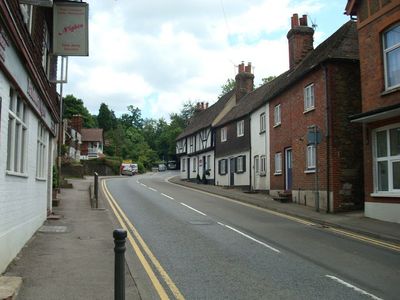
Seal, village and civil parish in Kent, UK
Location: Sevenoaks
Shares border with: Otford
GPS coordinates: 51.28820,0.22230
Latest update: March 3, 2025 06:24
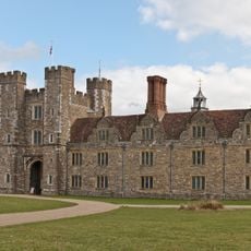
Knole House
2.7 km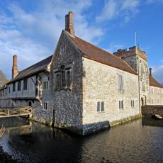
Ightham Mote
4.6 km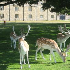
Knole Park
3.3 km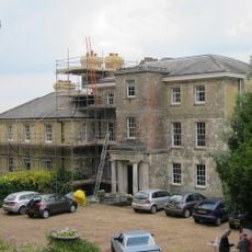
Riverhill House
4.6 km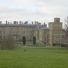
Dorton House
391 m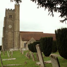
Church of St Peter and St Paul, Seal
278 m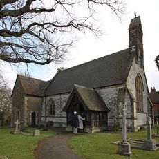
Church of St Margaret
4.7 km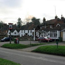
The Buck's Head Inn
1.6 km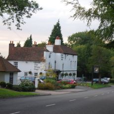
The White Hart Public House
4.1 km
46, 48 And 48A, High Street
2.9 km
23, High Street
3 km
Claridge House
3.1 km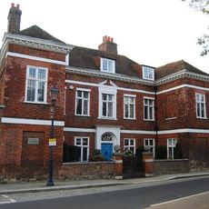
Chantry House Including Entrance Gateway And Screen Wall To Courtyard
3.1 km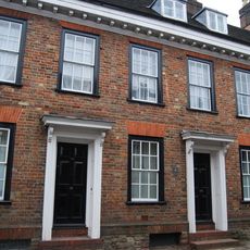
20-24, High Street
3 km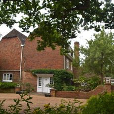
Great Budds
5.2 km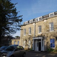
The Manor House
3 km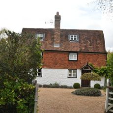
Noah's Ark
1.4 km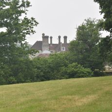
Under River House
4.8 km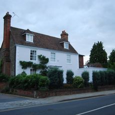
The Old Vicarage
3 km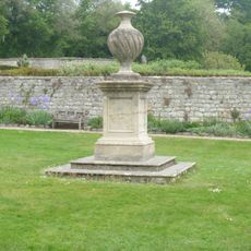
Garden Urn 30 Yards West Of Ightham Mote
4.6 km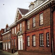
The Old House
3 km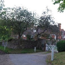
Black Charles
4.3 km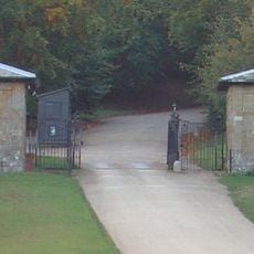
Main Lodge Entrance
2.9 km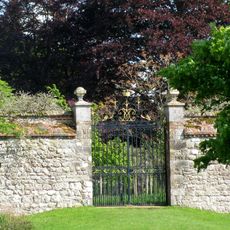
Garden Walls Adjoining Knole
2.9 km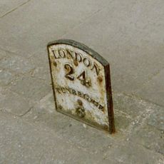
Milestone, Tonbridge Road, opp. No. 15, S of Church by Almshouses
3.1 km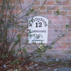
Milestone, Sevenoaks Road, in wall of "Oakenhurst"
3.4 km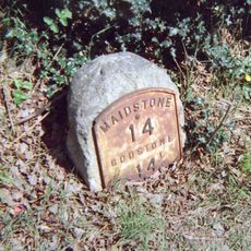
Milestone, Maidstone Road, E of village
557 m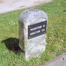
Milestone, Seal Road, by No 206, 40m W of jct with Filmer Lane
1 kmReviews
Visited this place? Tap the stars to rate it and share your experience / photos with the community! Try now! You can cancel it anytime.
Discover hidden gems everywhere you go!
From secret cafés to breathtaking viewpoints, skip the crowded tourist spots and find places that match your style. Our app makes it easy with voice search, smart filtering, route optimization, and insider tips from travelers worldwide. Download now for the complete mobile experience.

A unique approach to discovering new places❞
— Le Figaro
All the places worth exploring❞
— France Info
A tailor-made excursion in just a few clicks❞
— 20 Minutes