
Four Marks, village in Hampshire, United Kingdom
Location: East Hampshire
Website: http://www.fourmarksvillage.co.uk/
Shares border with: Bighton
Website: http://fourmarksvillage.co.uk
GPS coordinates: 51.11155,-1.04434
Latest update: April 4, 2025 09:40
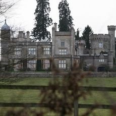
Rotherfield Park
3.8 km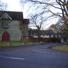
Alton Abbey
2.7 km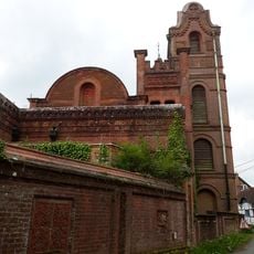
Farringdon Church Of England Primary School And Village Hall
4.2 km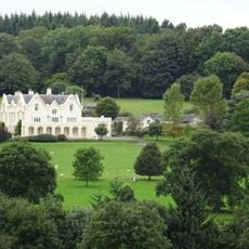
Pelham Place
3.5 km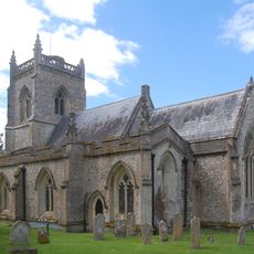
Church of St James
4.2 km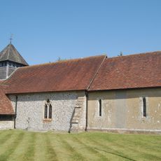
Church of St Andrew
2.5 km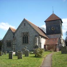
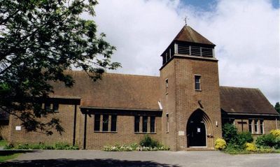
Church of St Peter
4 km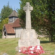
Medstead War Memorial
2.5 km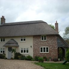
Upper Woodside Farm Cottage
2.2 km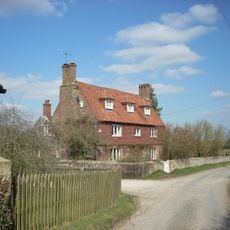
Lower Woodside Farmhouse
2.6 km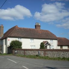
Town Street Farmhouse
3.9 km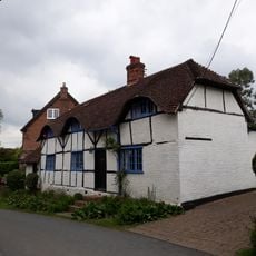
Angerton
4.2 km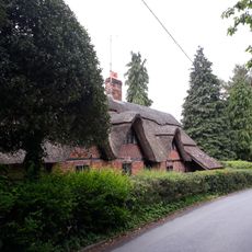
Cruck Cottage
4.2 km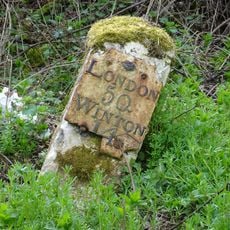
Milestone, Bricklin Farm
2.3 km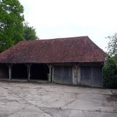
Cartshed 60 Metres South Of Manor House Farmhouse
4.2 km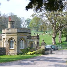
Front Lodge
4.2 km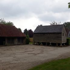
Granary 50 Metres South Of Manor House Farmhouse
4.2 km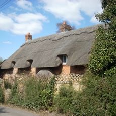
Sparrow Thatch
4 km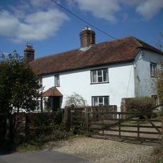
Fordes
4 km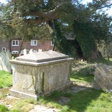
Table Tomb 9 Metres South Of Porch
4 km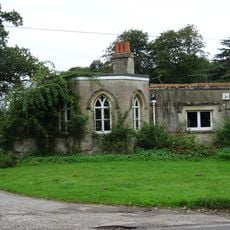
Lower Lodge
3.9 km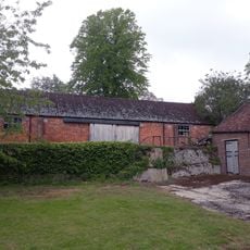
Barn 100 Metres South-West Of Manor House Farmhouse
4.1 km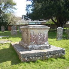
Table Tomb 2 Metres South Of The Tower
4 km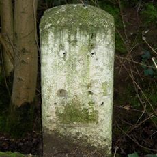
Milestone, Ropley Soke
2.5 km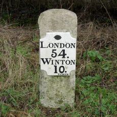
Milestone, Gascoigne Lane
4 km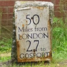
Milestone, Lower Farringdon (July 15 reported moved 50m to grass in front of new brick garage)
3.5 km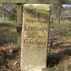
Milestone, Pelham Place
3.7 km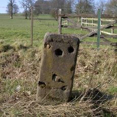
Milestone, opp. a row of houses
4.3 kmReviews
Visited this place? Tap the stars to rate it and share your experience / photos with the community! Try now! You can cancel it anytime.
Discover hidden gems everywhere you go!
From secret cafés to breathtaking viewpoints, skip the crowded tourist spots and find places that match your style. Our app makes it easy with voice search, smart filtering, route optimization, and insider tips from travelers worldwide. Download now for the complete mobile experience.

A unique approach to discovering new places❞
— Le Figaro
All the places worth exploring❞
— France Info
A tailor-made excursion in just a few clicks❞
— 20 Minutes