
Turnditch, village and civil parish in Amber Valley district, Derbyshire, England
Location: Amber Valley
Shares border with: Idridgehay and Alton, Hulland Ward, Weston Underwood, Windley, Shottle and Postern
GPS coordinates: 53.01400,-1.56400
Latest update: March 2, 2025 23:21
Holy Trinity Church, Kirk Ireton
4.5 km
Church of St John the Evangelist
3.5 km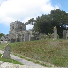
Church of All Saints
3.7 km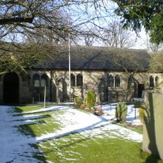
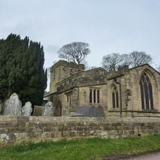
Church of All Saints
292 m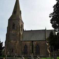
Church of St James
2.8 km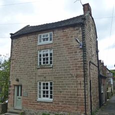
House South West Of Churchyard Gates
4.5 km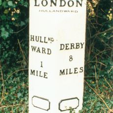
Mile Post At Os 282 453
1.6 km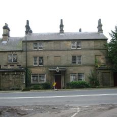
Crossroads Farmhouse
4.5 km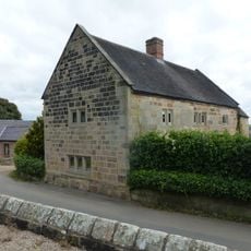
Church Farmhouse
4.5 km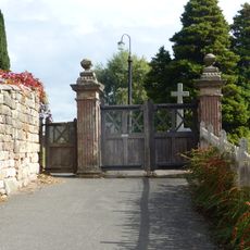
The Gate Piers To Holy Trinity Churchyard
4.5 km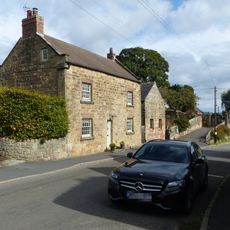
House To The South West Of Green Farm
4.5 km
Green Farmhouse
4.6 km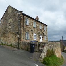
Well Banks (at the junction of Well Banks and Nether Lane)
4.4 km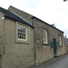
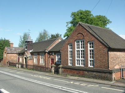
Methodist Sunday School
4.5 km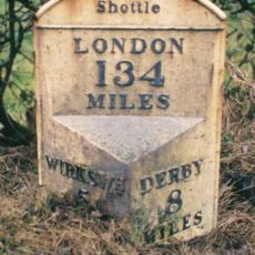
Milepost 200 Metres South East Of The Wirksworth And Ashbourne Road Crossroads
1.5 km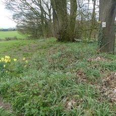
Ravensdale deer park, lodge, mill and fishpond
3.4 km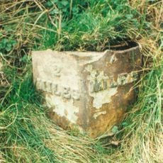
Milepost At Os 287 438
2.6 km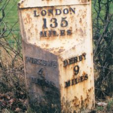
Milepost 500 Yds West South West Of The Junction Of Wirksworth Road And Calladine Lane
1.4 km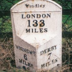
Mile Post At Os 313 454
2.2 km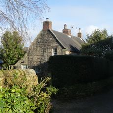
Prospect House
4.5 km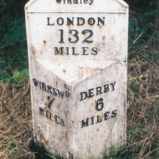
Mile Post At Os 324 443
3.7 km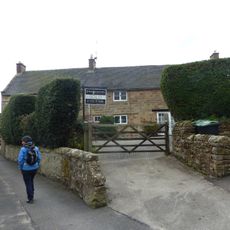
Rose Bank
4.5 km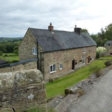
Farmhouse And Attached Outbuildings To The South Of Well Banks
4.4 km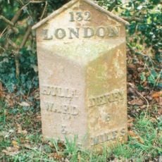
Mile Post At Os 293 425
3.9 km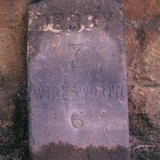
Milestone, Farnah Green
4.2 km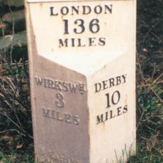
Milepost, near Idridgehay Church
2.7 km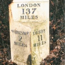
Milepost, Alton Manor
4.3 km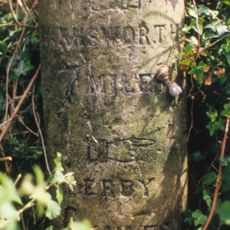
Milestone, Hazelwood Road jct (S of village)
4 kmReviews
Visited this place? Tap the stars to rate it and share your experience / photos with the community! Try now! You can cancel it anytime.
Discover hidden gems everywhere you go!
From secret cafés to breathtaking viewpoints, skip the crowded tourist spots and find places that match your style. Our app makes it easy with voice search, smart filtering, route optimization, and insider tips from travelers worldwide. Download now for the complete mobile experience.

A unique approach to discovering new places❞
— Le Figaro
All the places worth exploring❞
— France Info
A tailor-made excursion in just a few clicks❞
— 20 Minutes