
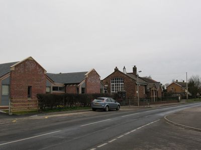
Sutton upon Derwent, village in the East Riding of Yorkshire, England, UK
Location: East Riding of Yorkshire
GPS coordinates: 53.91287,-0.90125
Latest update: March 17, 2025 20:58

Yorkshire Air Museum and Allied Air Forces Memorial
4.4 km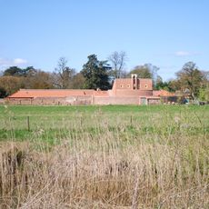
Thicket Priory
4.2 km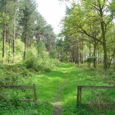
Allerthorpe Common
3.9 km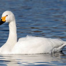
Derwent Ings
1.9 km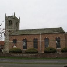
St Helen's Church, Wheldrake
4.4 km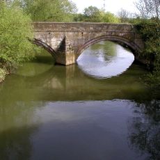
Kexby Old Bridge
4.6 km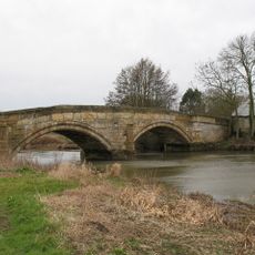
Sutton Bridge, Yorkshire
2 km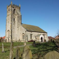
Church of St John the Baptist
4.3 km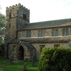
Church of Saint Michael and All Angels
1.7 km
Holy Trinity Church
2.2 km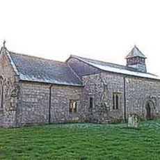
Church of St Michael
4.1 km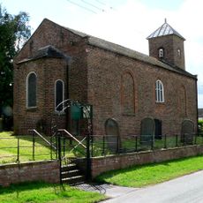
Church of St.Mary
4.8 km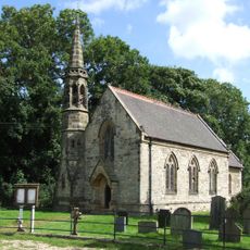
Church of Saint Paul
4.7 km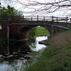
Hagg Bridge
1.8 km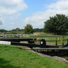
Gardham Lock And Swing Bridge
1.7 km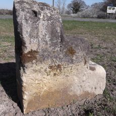
Milestone, W of Kexby
5 km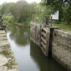
Pocklington Canal Cottingwith Lock
4.7 km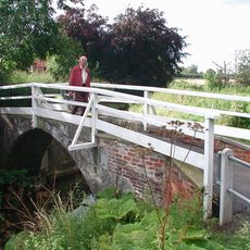
Church Bridge
4.2 km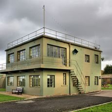
Control Tower, Yorkshire Air Museum
4.5 km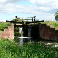
Pocklington Canal Walbut Lock
5.6 km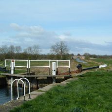
Pocklington Canal Thornton Lock
4.5 km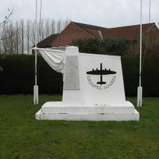
Groups Lourds Francais Memorial, Elvington, North Yorkshire
3.5 km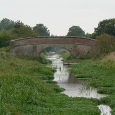
Pocklington Canal Church Bridge
4.3 km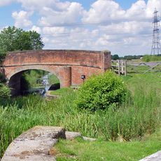
Pocklington Canal Walbut Bridge
5.5 km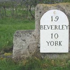
Milestone Opposite The Squirrels Public House
3.9 km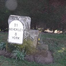
Milestone, Main Street Wilberfoss
4 km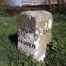
Guidestone, N end of village
2.8 km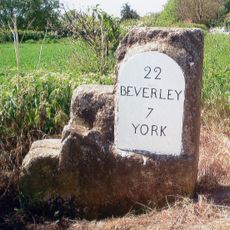
Milestone, just W of Catton Lane jct.
4.6 kmVisited this place? Tap the stars to rate it and share your experience / photos with the community! Try now! You can cancel it anytime.
Discover hidden gems everywhere you go!
From secret cafés to breathtaking viewpoints, skip the crowded tourist spots and find places that match your style. Our app makes it easy with voice search, smart filtering, route optimization, and insider tips from travelers worldwide. Download now for the complete mobile experience.

A unique approach to discovering new places❞
— Le Figaro
All the places worth exploring❞
— France Info
A tailor-made excursion in just a few clicks❞
— 20 Minutes