
Knapwell, village in Cambridgeshire, England, UK
Location: South Cambridgeshire
GPS coordinates: 52.23672,-0.05533
Latest update: March 25, 2025 16:10
Ermine Street
106.8 km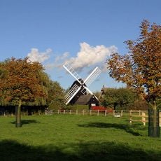
Bourn Windmill
4 km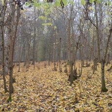
Overhall Grove
1.1 km
Cambourne Nature Reserve
2.5 km
Papworth Wood
4 km
Elsworth Wood
1.7 km
Childerley Hall
2.7 km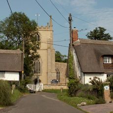
Parish Church of Holy Trinity
2.2 km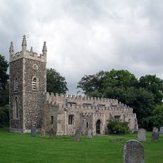
Parish Church of St Peter
3.5 km
Chapel To South West Of Childerley Hall
2.7 km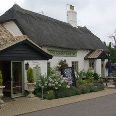
Golden Ball Inn
2.9 km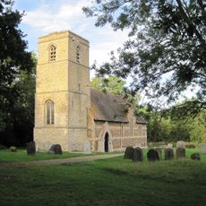
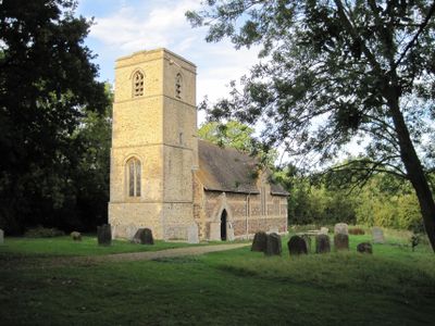
Parish Church of All Saints
1.6 km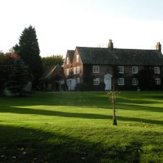
Church Farmhouse
3.5 km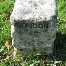
Milestone To East Of Number 119
3.9 km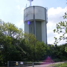
Cambourne Water Tower
1.7 km
The Old Court House
3.7 km
Milestone Cottage
4 km
Manor Cottage
994 m
The Poacher
2.4 km
The Crown House
4.1 km
Mile Post Near Junction With Elsworth Road
2.5 km
11, Brook Street
2.3 km
Pages Farmhouse
3 km
Mile Post South Of Pembroke Farm And West Of Caxton Gibbet Inn
4.1 km
Milestone To South Of Caxton Gibbet Inn
3.4 km
3 And 5, The Causeway
2.3 km
Milestone, Ermine street, 60m S of entrance to Crow's Nest Farm
3.8 km
Milepost, St Neots Road, E of Cambourne
1.5 kmReviews
Visited this place? Tap the stars to rate it and share your experience / photos with the community! Try now! You can cancel it anytime.
Discover hidden gems everywhere you go!
From secret cafés to breathtaking viewpoints, skip the crowded tourist spots and find places that match your style. Our app makes it easy with voice search, smart filtering, route optimization, and insider tips from travelers worldwide. Download now for the complete mobile experience.

A unique approach to discovering new places❞
— Le Figaro
All the places worth exploring❞
— France Info
A tailor-made excursion in just a few clicks❞
— 20 Minutes