Ermine Street

Log in to your account

AroundUs is a community-driven map of interesting places, built by curious explorers like you. It grows with every review, story, and photo you share.
Connect to save your favorite spots, contribute locations, and create personalized routes.
By continuing, you accept our Terms and Conditions and our Privacy Policy
Add to collection
Map
Suggest a change
Share

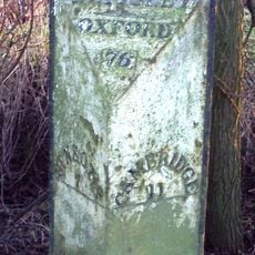
Ermine Street, Roman road in eastern England

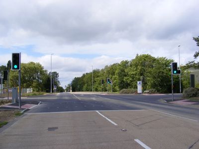
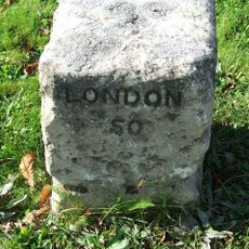
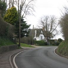
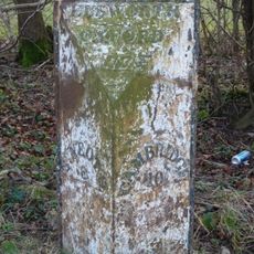
Ermine Street is a Roman road in eastern England that runs 193 miles (310 kilometers) from London through Hertfordshire, Cambridgeshire and Lincolnshire up to Yorkshire, linking the ancient settlements of Londinium, Lincoln and York. Sections of the original route now run alongside the modern A1 highway and smaller roads such as the B6403.

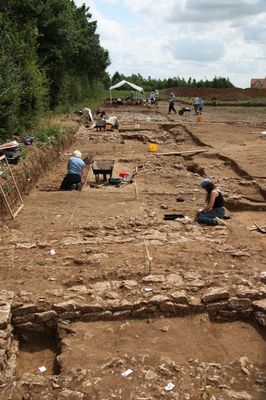
Roman engineers built this road after the occupation of Britain in 43 AD to ease military movements and administration across the territory. The route remained a major connection for centuries and shaped the growth of many settlements along its course.

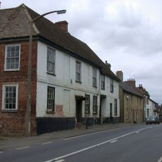
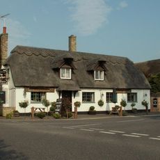
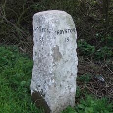
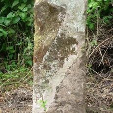
The name comes from the Earningas people who lived in the Armingford Hundred near what is now Arrington and Royston. Local place names along the route still reflect this early settlement and show how the route shaped the area.

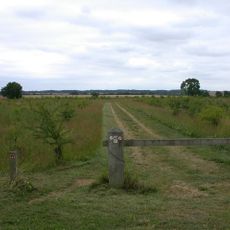
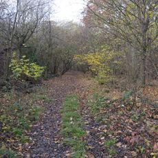
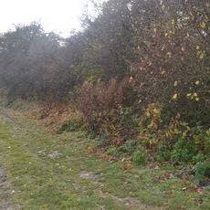
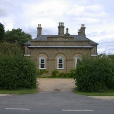
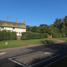
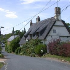
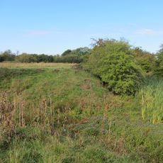
Walkers can still follow sections of the original Roman route, which runs partly alongside today's A1 and through rural areas in Lincolnshire. Many stretches are open via public footpaths and offer a calm experience away from traffic.

The Newport Arch in Lincoln is the only Roman gateway in England that vehicles can still drive through today, marking a key point along this ancient route. Beneath the arch, worn ruts from Roman wagon wheels remain visible in the stone.

Location: City of London

Location: London Borough of Tower Hamlets

Location: London Borough of Hackney

Location: London Borough of Enfield

Location: Hertfordshire

Location: Rutland

Location: North Kesteven

Location: South Kesteven

Location: Lincoln

Location: West Lindsey

Location: Bassetlaw

Location: Lincolnshire

Location: East Riding of Yorkshire

Location: Doncaster

Location: North Lincolnshire

Location: City of Peterborough

Location: Cambridgeshire

Location: Nottinghamshire

Location: Huntingdonshire

Location: South Cambridgeshire

Location: Broxbourne

Location: East Hertfordshire

Location: North Hertfordshire

Location: East Anglia

Location: East Yorkshire and Northern Lincolnshire

Location: Bedfordshire and Hertfordshire

Location: Leicestershire, Rutland and Northamptonshire

Location: Derbyshire and Nottinghamshire

Part of: Roman Britain

Address: Papworth Everard, Cambridge CB23 3QA, UK

GPS coordinates: 53.15151,-0.53454

Latest update: December 5, 2025 22:23

Photos
Around this place
Show the full map Show the full map
Reviews

Visited this place? Tap the stars to rate it and share your experience / photos with the community! Try now! You can cancel it anytime.

« Ermine Street - Roman road in eastern England » is provided by Around Us (aroundus.com). Images and texts are derived from Wikimedia project under a Creative Commons license. You are allowed to copy, distribute, and modify copies of this page, under the conditions set by the license, as long as this note is clearly visible.

Discover hidden gems everywhere you go!

From secret cafés to breathtaking viewpoints, skip the crowded tourist spots and find places that match your style. Our app makes it easy with voice search, smart filtering, route optimization, and insider tips from travelers worldwide. Download now for the complete mobile experience.

Around Us App Screenshot

A unique approach to discovering new places

Le Figaro

All the places worth exploring

France Info

A tailor-made excursion in just a few clicks

20 Minutes