Enable Location

We need your location to show you interesting places around you

Discover nearby places

Find interesting locations and hidden gems around you

Precise directions

Get accurate directions and distances to places

Your location is never shared with other users. It's only used when you tap the location button.

Log in to your account

Start exploring — it's free

Trusted by 62,564 travelers worldwide

Continue with Google
Continue with Apple
or

We will send you a code to connect

By continuing, you accept our Terms and Conditions and our Privacy Policy

Check your inbox

We've sent a pincode in your inbox. Please enter the code below.

Broxbourne, Administrative district in Hertfordshire, England

Broxbourne is an administrative district in southeastern Hertfordshire that covers an area in the region and is bordered by the River Lea to the east. The district includes several towns and is governed from Cheshunt by a local council serving its residents.

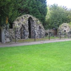
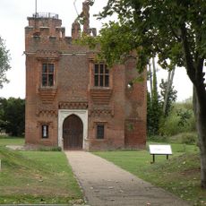
The district was created in 1974 through the merger of the urban areas of Cheshunt and Hoddesdon, with its name derived from Old English meaning badger stream. This reorganization established the current governing structure that continues today.

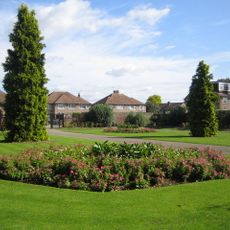
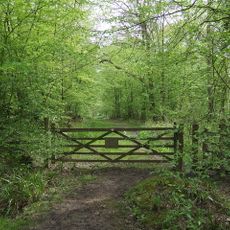
The district maintains strong connections with London while preserving extensive woodland areas and participating in the Metropolitan Green Belt conservation program.

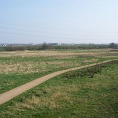
The district stretches from urban development in the east to more rural woodland areas in the west, offering different experiences depending on where you explore. Visitors will find a mix of built-up areas and green spaces throughout the region.

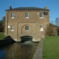
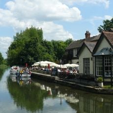
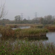
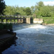
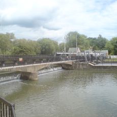
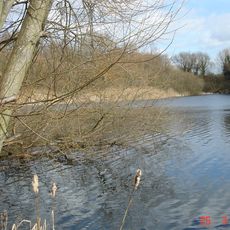
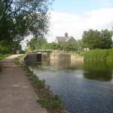
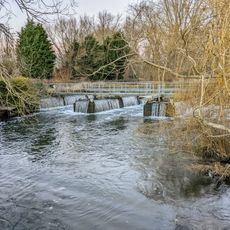
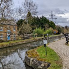
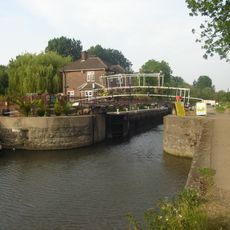
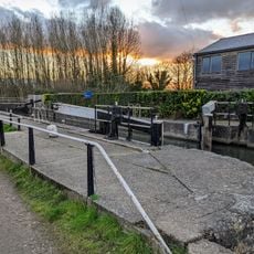
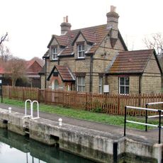
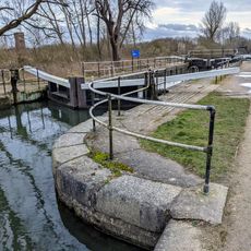
The territory contains sections of the Lee Valley Park, which provides natural spaces and recreational facilities for the public. This park connects several communities and offers walking paths alongside water features amid the otherwise developed surroundings.

The community of curious travelers

AroundUs brings together thousands of curated places, local tips, and hidden gems, enriched daily by 60,000 contributors worldwide.

Start exploring
GPS coordinates
51.74657,-0.01908
Latest update
December 8, 2025 13:41
« Broxbourne - Administrative district in Hertfordshire, England » is provided by Around Us (aroundus.com). Images and texts are derived from Wikimedia project under a Creative Commons license. You are allowed to copy, distribute, and modify copies of this page, under the conditions set by the license, as long as this note is clearly visible.

Discover hidden gems everywhere you go!

From secret cafés to breathtaking viewpoints, skip the crowded tourist spots and find places that match your style. Our app makes it easy with voice search, smart filtering, route optimization, and insider tips from travelers worldwide. Download now for the complete mobile experience.

Around Us App Screenshot

A unique approach to discovering new places

Le Figaro

All the places worth exploring

France Info

A tailor-made excursion in just a few clicks

20 Minutes

Around Us
Travel Guide & Maps
Download

Send to your phone

QR Code
1

Open the camera app on your mobile.

2

Point at the QR code with your camera. A notification will appear.

3

Tap the notification to open the link.