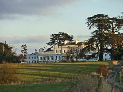
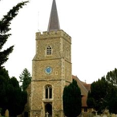
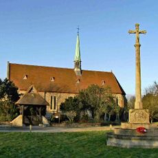
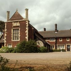
Bayfordbury, English country house in Bayford, England
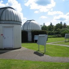
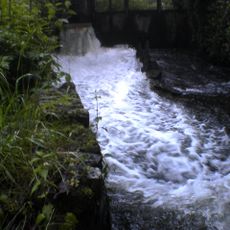
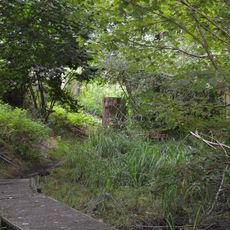
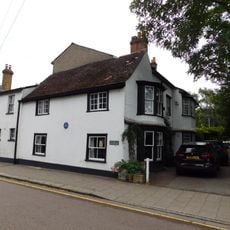
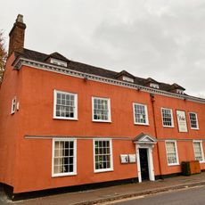
Bayfordbury is a country house from the 18th century located in the village of Bayford, in Hertfordshire, England, and listed at Grade II* for its architectural value. The estate around it includes woodlands, open meadows, a lake, research glasshouses, a notable collection of conifer trees, and an observatory.
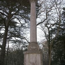
The house was built between 1759 and 1762 for a wealthy London merchant, then significantly altered by his son in the early 1800s. The lake was formed around 1772, and the planting of conifers on the estate began around 1767.
The name Bayfordbury combines the nearby village of Bayford with the suffix 'bury', an Old English word for a fortified place or manor. Today, visitors can walk through the grounds and observe how the layout still follows the vision of a Georgian country estate, with open lawns giving way to wooded areas.
The estate is managed as a university research station, so it is worth checking access conditions before visiting, as some areas may be restricted. The gardens and grounds are best explored on foot, and a good amount of time is needed to cover the woodland paths, the lake, and the glasshouses.
The conifer collection at Bayfordbury is considered one of the oldest in Britain, with some trees dating back to specimens brought from early botanical expeditions to North America and the Pacific. A few of these trees have been growing on the estate for over 250 years, long before the site became a place of formal scientific research.
The community of curious travelers
AroundUs brings together thousands of curated places, local tips, and hidden gems, enriched daily by 60,000 contributors worldwide.