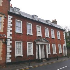
Cedars Park, Urban park in Broxbourne, England.
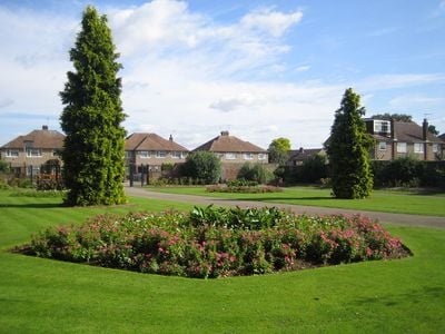
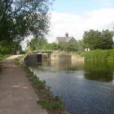
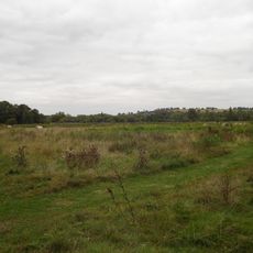
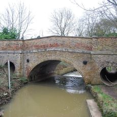
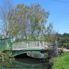
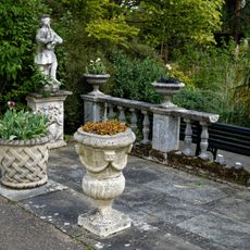
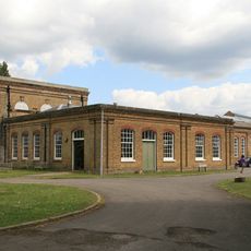
Cedars Park is an urban park in Broxbourne featuring expansive landscaped grounds with multiple distinct areas. The space includes formal garden sections, wooded paths, water features, and a visitor center offering nature-based educational resources.
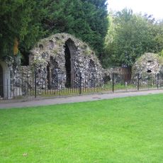
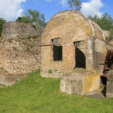
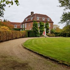
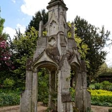
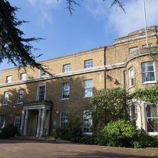
The grounds once housed a large Tudor palace that served as a royal residence during the 16th and 17th centuries. The site holds significance in English royal history and was shaped by successive generations of court life and landscape design.
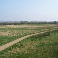
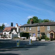
The space functions as a community gathering place where visitors walk through formal gardens and woodland areas at their own pace. People use the grounds for quiet recreation and to connect with nature throughout the seasons.
The park is accessible daily, with opening hours that shift throughout the year based on sunlight and season. It's wise to check current hours before your visit, as times vary considerably between winter and summer.
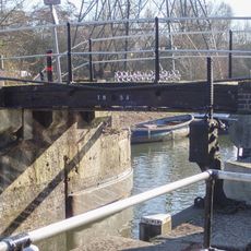
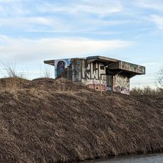
The grounds contain marked archaeological remains and protected monuments that point to its medieval and early modern past. Visitors walking the area can find traces of former garden designs from different historical periods still visible in the landscape.
Location: Broxbourne
GPS coordinates: 51.69167,-0.04139
Latest update: December 11, 2025 18:06
Theobalds House
1 km
Lee Valley Park
1.9 km
Waltham Abbey Royal Gunpowder Mills
2.1 km
Western Cemetery
1.6 km
Waltham Common Lock
1.8 km
Rammey Marsh Lock
2.5 km
Waltham Town Lock
2 km
Waltham Abbey SSSI
2.3 km
Cornmill Stream and Old River Lea
2.5 km
Eleanor Cross, Waltham Cross
872 m
Church of St Mary
1.5 km
Embassy Cinema
991 m
Bridge At Rammey Lock
2.5 km
The Pied Bull Public House
1.9 km
Theobalds Manor
2.1 km
Cheshunt Library
1.1 km
Maidens Bridge
2.6 km
Bridge Over New River
2.2 km
Capel House
1.8 km
Market Cross in the grounds of Myddelton House
2.4 km
St George's Church
2 km
Lake Terrace In The Grounds Of Myddelton House
2.4 km
Myddelton House
2.3 km
Ministry Of Defence Building L157 (group C Incorporating Mills)
2.3 km
23, Highbridge Street
2.5 km
31, Highbridge Street
2.5 km
8th Air Force Crash Memorial, Cheshunt
1.2 km
World War II Bofors Anti-aircraft gun platform 340m south east of Cheshunt railway station
1.9 kmVisited this place? Tap the stars to rate it and share your experience / photos with the community! Try now! You can cancel it anytime.
Discover hidden gems everywhere you go!
From secret cafés to breathtaking viewpoints, skip the crowded tourist spots and find places that match your style. Our app makes it easy with voice search, smart filtering, route optimization, and insider tips from travelers worldwide. Download now for the complete mobile experience.
A unique approach to discovering new places❞
— Le Figaro
All the places worth exploring❞
— France Info
A tailor-made excursion in just a few clicks❞
— 20 Minutes