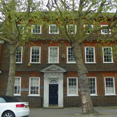
New River, Water canal between Hertfordshire and North London, England
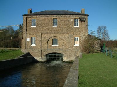
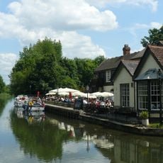
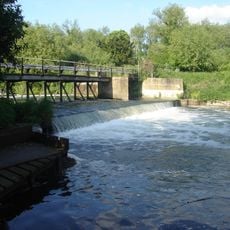
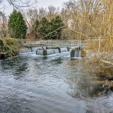
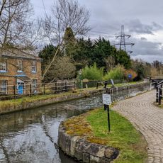
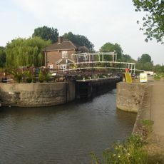
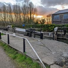
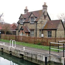
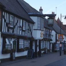
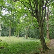
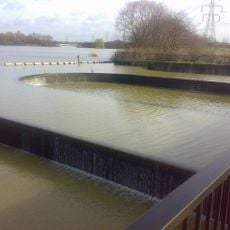
The New River is an artificial waterway that flows from springs near Ware in Hertfordshire to Stoke Newington in North London. It runs along a gentle slope through the landscape and is accompanied by paths that connect several districts today, giving visitors access to the water.
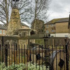
The project started around 1604 with the idea of bringing clean water to London and was completed in 1613 after 9 years of construction. This early water supply system solved an urgent problem for the growing city and showed remarkable engineering for its time.
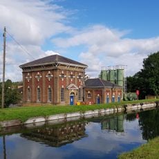
The canal was transformative for Londoners, bringing clean water directly to their homes for the first time. People gathered along its path to relax and walk, while the hidden pipes beneath the city delivered water where it was needed most.
The path beside the canal is easy to access and good for walking or jogging through various London districts. Visitors should note that the route spans several neighborhoods, so sturdy shoes are helpful and planning extra time is wise.
King James I fell into the canal's icy water in 1622 during an inspection visit and survived the unexpected incident, which underscored its importance to the royal family. This was an unusual moment in the history of early London's water system.
The community of curious travelers
AroundUs brings together thousands of curated places, local tips, and hidden gems, enriched daily by 60,000 contributors worldwide.