London Borough of Enfield, Administrative borough in North London, England
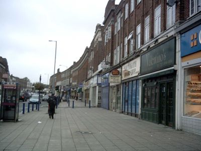
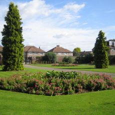
London Borough of Enfield is an administrative division in the northern part of Greater London, covering residential areas, commercial districts, and green spaces. The neighborhoods of Southgate and Palmers Green lie within its boundaries, connected by a network of roads, rail lines, and Underground stations.
On April 1st, 1965, this administrative district came into being through the reorganization of Greater London, when former municipalities from the county of Middlesex were merged together. The Royal Small Arms Factory shaped the region's economy for many decades, employing thousands of workers.
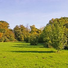
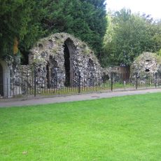
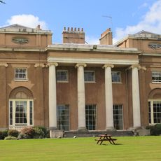
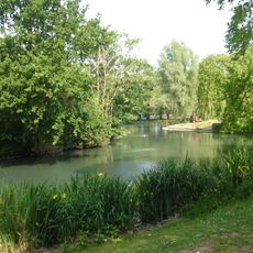
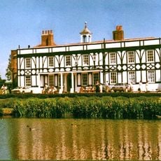
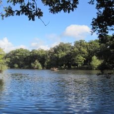
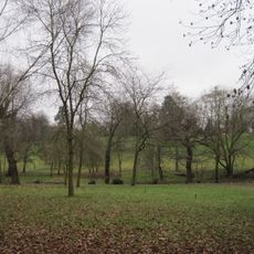
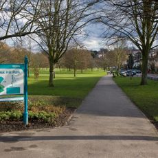
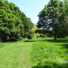
The name comes from the Old English term for "Eana's field," where early settlers built their communities along ancient trade routes. Locals use the park around Forty Hall for weekend walks, while the Millfield Theatre serves as a meeting point for people from all neighborhoods.
Three Underground stations on the Piccadilly Line provide direct connections to the city center, complemented by several railway stations with trains to Liverpool Street and King's Cross. Bus lines run frequently during the day, linking the eastern and western neighborhoods of the district.
The Lee-Enfield rifles produced here carried the town's name and remained in service with armed forces worldwide until the second half of the 20th century. Visitors can see some of these weapons and documents about the factory's history at the Forty Hall museum.
The community of curious travelers
AroundUs brings together thousands of curated places, local tips, and hidden gems, enriched daily by 60,000 contributors worldwide.