Friary Park, Public park in Friern Barnet, United Kingdom
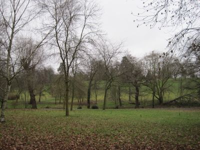
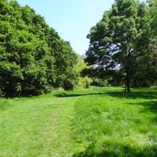
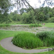
Friary Park is a public park in Friern Barnet, in the London Borough of Barnet, with open lawns, formal garden sections, old trees, and winding paths. The grounds also contain tennis courts, a bowling green, a skate park, outdoor fitness equipment, and children's play areas.
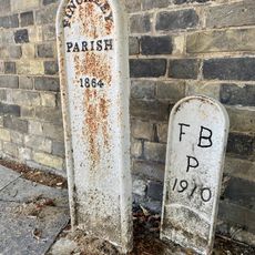
This land was once held by the medieval Knights of St John of Jerusalem before a manor house appeared on the site in the 16th century. The estate changed hands several times over the centuries before eventually being opened to the public as a park.
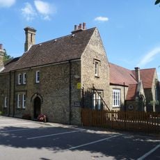
The name of this park refers to a medieval friary that once stood on this land, and many locals are aware of that connection when they visit. The old Friary House building still stands within the grounds and now serves as a café, giving the space a lived-in, community feel.
The paths are wide and easy to follow, and most of the park can be reached on foot without much difficulty. Weekends draw more visitors, especially around the play areas and the café, so a weekday visit is quieter.
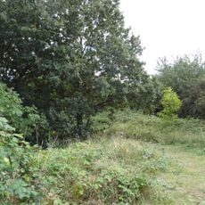
Several giant coast redwood trees grow in the park, reaching a size rarely seen in a London urban green space. A small stream also runs through the grounds, and it is known to shelter great crested newts, a protected species in the United Kingdom.
The community of curious travelers
AroundUs brings together thousands of curated places, local tips, and hidden gems, enriched daily by 60,000 contributors worldwide.