Rutland, Ceremonial county in East Midlands, England
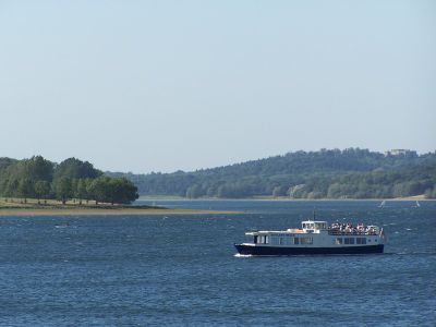
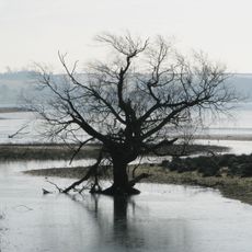
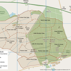
Rutland is the smallest ceremonial county in the East Midlands, sitting between Leicestershire, Lincolnshire, Cambridgeshire, and Northamptonshire. The landscape consists of gentle hills, hedged fields, and small stone villages grouped around the man-made Rutland Water reservoir.
The area first appeared in records in 1159 as a separate territory and developed from Saxon settlements in a wooded region. During the 20th century the county was briefly dissolved, then restored as a self-governing unit in 1997.
The name comes from the Old English word for red land, referring to the iron-rich soils of the region. Visitors still see the ochre tones in fields and stone walls along country roads today.
The two main towns sit roughly 6 miles (10 km) apart and are linked by a network of country roads that pass through open farmland. Most of the county is set up for motorists, though some walking paths around the large reservoir accommodate cyclists and pedestrians as well.
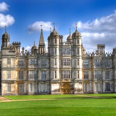
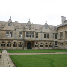
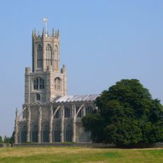
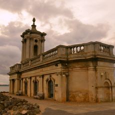
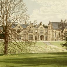
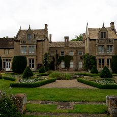
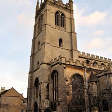
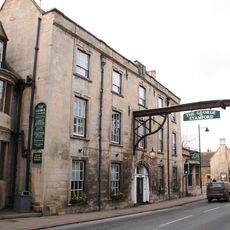
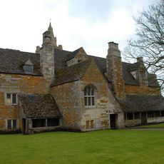
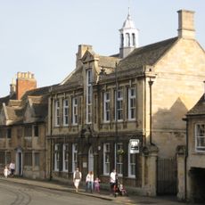
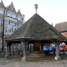
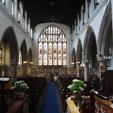
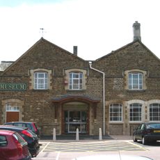
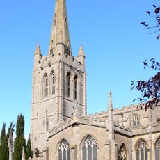
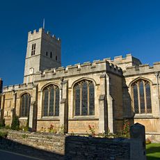
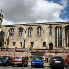
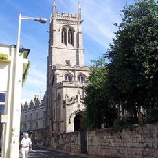
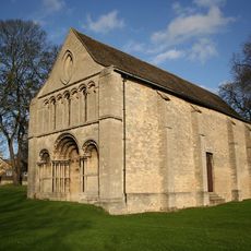
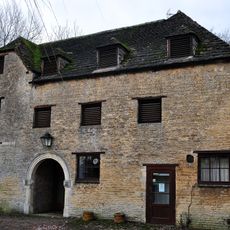
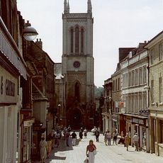
Local quarries near Ketton supplied high-quality sandstone that shaped the architecture of churches and buildings across the area. This warm honey tone is still visible in house fronts, walls, and parish churches today.
The community of curious travelers
AroundUs brings together thousands of curated places, local tips, and hidden gems, enriched daily by 60,000 contributors worldwide.