Enable Location

We need your location to show you interesting places around you

Discover nearby places

Find interesting locations and hidden gems around you

Precise directions

Get accurate directions and distances to places

Your location is never shared with other users. It's only used when you tap the location button.

London Borough of Tower Hamlets

Log in to your account

Save your favorite places
Create custom travel routes
Rate and review places
Access the full interactive map
Continue with Google
Continue with Apple
Continue with email
By continuing, you accept our Terms and Conditions and our Privacy Policy
Create an account
Add to collection
Map
Suggest a change
Share

London Borough of Tower Hamlets, Administrative division in East London, England

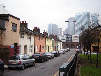
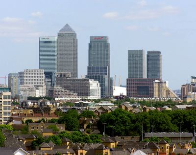
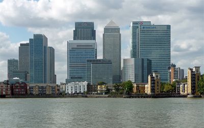
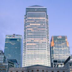
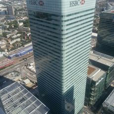
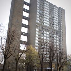
The London Borough of Tower Hamlets is an administrative district in East London, stretching along the north bank of the Thames from Whitechapel to the Isle of Dogs. The area encompasses both the high-rise towers of Canary Wharf and the former docks of the Docklands, now converted into residential neighborhoods and parks.

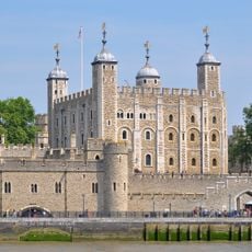
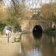
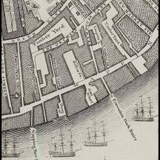
Stepney, Poplar, and Bethnal Green merged in 1965, with the name coming from the Tower Division, an old militia unit that drilled near the Tower of London. The docklands supplied the city for centuries before closing and being redeveloped in the 1980s.

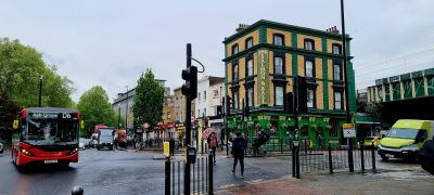
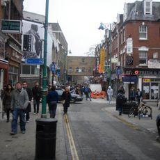
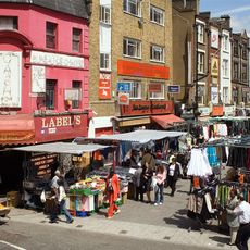
The Bangladeshi community centers around Brick Lane, where Bengali script appears on shopfronts and the smell of spices fills the air on weekends. On Sundays, the pavements fill with food stalls, street vendors, and families moving between cafés and small shops.

The area is best explored on foot or by public transport, as streets are often narrow and parking is limited. Visitors coming from the west will find the Underground lines convenient, while the Docklands Light Railway connects the eastern sections.

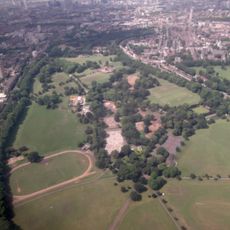
Victoria Park, in the northern section, once served as a meeting point for political rallies and demonstrations during the 19th century. Today, local residents come here to jog, sail model boats on the ponds, or picnic on the lawns.

Location: Greater London

Inception: April 1, 1965

Address: London Borough of Tower Hamlets, UK

Website: https://towerhamlets.gov.uk

GPS coordinates: 51.51000,-0.00611

Latest update: December 14, 2025 20:12

Photos
Reviews

Visited this place? Tap the stars to rate it and share your experience / photos with the community! Try now! You can cancel it anytime.

« London Borough of Tower Hamlets - Administrative division in East London, England » is provided by Around Us (aroundus.com). Images and texts are derived from Wikimedia project under a Creative Commons license. You are allowed to copy, distribute, and modify copies of this page, under the conditions set by the license, as long as this note is clearly visible.

Discover hidden gems everywhere you go!

From secret cafés to breathtaking viewpoints, skip the crowded tourist spots and find places that match your style. Our app makes it easy with voice search, smart filtering, route optimization, and insider tips from travelers worldwide. Download now for the complete mobile experience.

Around Us App Screenshot

A unique approach to discovering new places

Le Figaro

All the places worth exploring

France Info

A tailor-made excursion in just a few clicks

20 Minutes