Brick Lane, Restaurant district in East London, United Kingdom
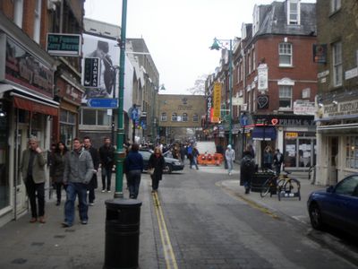
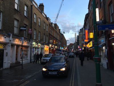
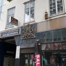
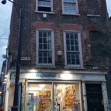
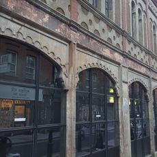
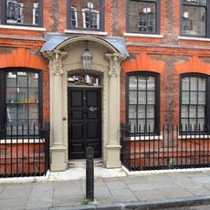
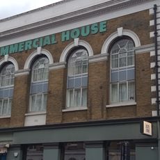
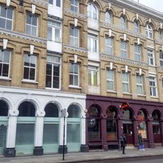
Brick Lane is a street in East London that extends over several blocks, densely lined on both sides with shops, restaurants and galleries. Most storefronts occupy narrow Victorian terraced houses in red brick, while larger modern buildings stand at intersections.
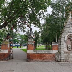
In the 15th century, clay was extracted here and fired into bricks, which gave the street its name. From the 17th century Huguenot weavers settled, later Jewish immigrants arrived, and from the 1970s the Bengali community shaped the area.
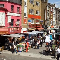
The street takes its name from the brickworks that stood here for centuries, and today you find restaurants serving dishes from Bangladesh along the entire length. Many building walls display large graffiti and murals that change regularly and shape the streetscape.
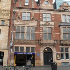
The nearest Underground stations are Aldgate East and Liverpool Street, from which you can reach the street on foot in a few minutes. On Sundays many flea markets and street stalls open here, on weekdays life centers on the restaurants and shops.
A building now serving as a mosque was erected in 1743 as a chapel, later converted into a synagogue, and finally became an Islamic prayer hall in 1976. Traces of all three religious uses remain visible on the facade, including Hebrew inscriptions next to Gothic windows.
The community of curious travelers
AroundUs brings together thousands of curated places, local tips, and hidden gems, enriched daily by 60,000 contributors worldwide.