Regent's Canal, Waterway in North London, England.
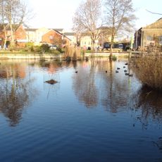
Regent's Canal is an 8.6-kilometer waterway that connects the River Thames in Paddington with the River Lea while running through several north London boroughs. The route passes through neighborhoods with different character, beside green spaces, residential areas, and converted industrial structures.
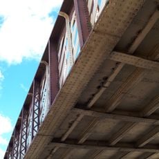
Built between 1812 and 1820 under architect John Nash's direction, the canal transported timber, coal, and food into the city during its working years. This transport route was crucial for London's 19th-century economy and supply networks.
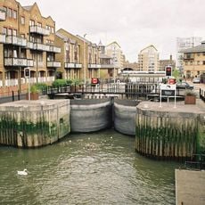
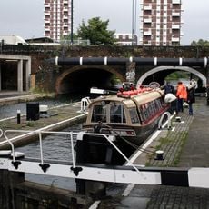
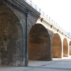
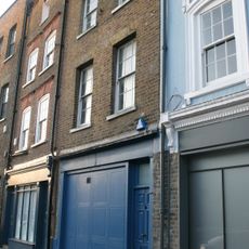
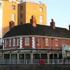
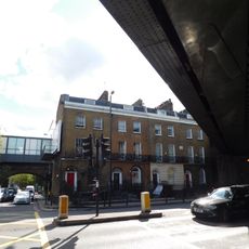
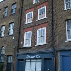
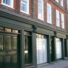
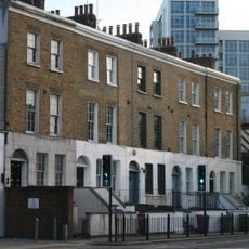
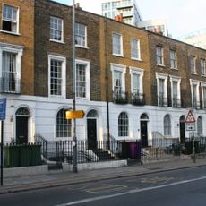
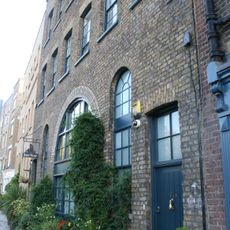
The waterway shapes how residents and visitors move through and gather in these neighborhoods today. Former industrial warehouses line the banks, now converted into homes and cafes, while houseboats and leisure boats show how the canal remains part of daily life.
The towpaths along the canal offer continuous paved routes for walking and cycling that cross London without traffic congestion. Wear sturdy shoes and use caution in wet weather, as the paths can become slippery and muddy in places.
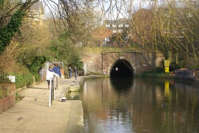
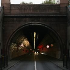
The Islington Tunnel runs 875 meters beneath the city and is the only section without a towpath, forcing boatmen to manually push their vessels through darkness. This underground passage was a notable engineering choice in the original canal design and remains a curious feature for modern visitors.
Location: London Borough of Camden
Location: London Borough of Islington
Location: London Borough of Hackney
Location: London Borough of Tower Hamlets
Location: City of Westminster
Official opening: 1816
GPS coordinates: 51.50940,-0.03730
Latest update: December 14, 2025 18:35
The Grapes
236 m
Royal Foundation of St Katharine
375 m
Limehouse Library
404 m
Lavender Pond
402 m
Limehouse Basin Lock
88 m
Commercial Road Lock
337 m
Shadwell Portal To The Rotherhithe Tunnel
353 m
Railway Viaduct To North Of Regents Canal Dock
327 m
Accumulator Tower and Chimney
331 m
Limehouse War Memorial
344 m
Archway To Rotherhithe Tunnel Approach
277 m
90, Narrow Street E14 8BP
266 m
1A, Flamborough Street E1
428 m
604-608, Commercial Road E14
346 m
2 Butcher Row
376 m
88, Narrow Street E14 8BP
262 m
British Waterways Customs House On West Quay Of Regent's Canal Dock Entrance
49 m
582-588, Commercial Road E14
380 m
Ratcliffe Cross Stairs
297 m
Limehouse Cut Entrance Walls
73 m
Railway Bridge
386 m
Drinking Fountain
386 m
92, Narrow Street E14 8BP
272 m
78-86, Narrow Street E14 8BP
246 m
683-691, Commercial Road E14
388 m
699-711, Commercial Road E14
406 m
94, Narrow Street, E14 8BP
280 m
The Pumphouse Educational Museum
353 mVisited this place? Tap the stars to rate it and share your experience / photos with the community! Try now! You can cancel it anytime.
Discover hidden gems everywhere you go!
From secret cafés to breathtaking viewpoints, skip the crowded tourist spots and find places that match your style. Our app makes it easy with voice search, smart filtering, route optimization, and insider tips from travelers worldwide. Download now for the complete mobile experience.
A unique approach to discovering new places❞
— Le Figaro
All the places worth exploring❞
— France Info
A tailor-made excursion in just a few clicks❞
— 20 Minutes