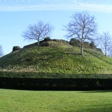
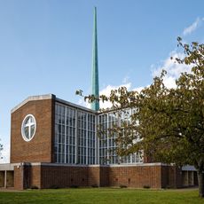
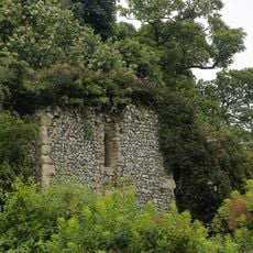
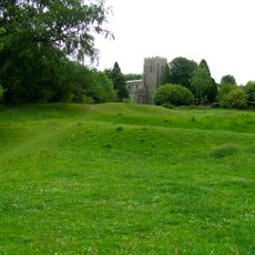
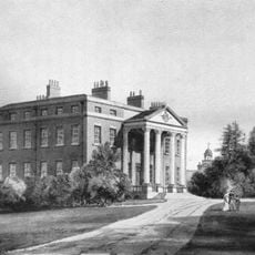
East Hertfordshire, Administrative district in Hertfordshire, England.
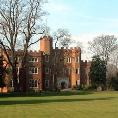
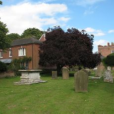
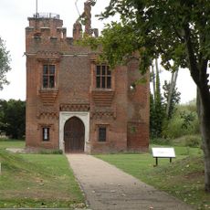
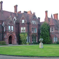
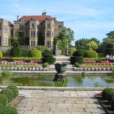
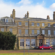
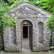
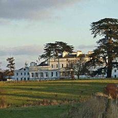
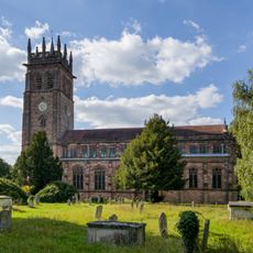
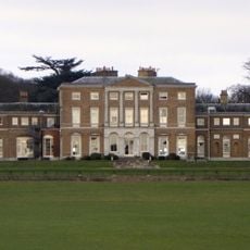
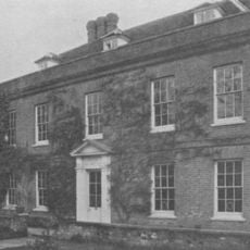
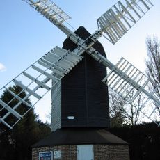
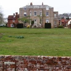
East Hertfordshire is an administrative district north of London featuring rolling farmland, historic manor houses, and villages with thatched roofs. The area includes several town centers like Bishop's Stortford and Ware that developed as transport hubs and market towns.
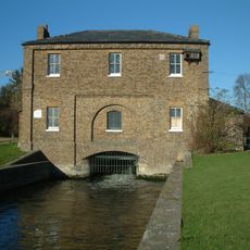
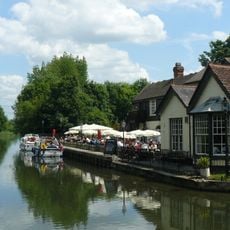
The area developed as a major transport corridor to London, particularly after the New River was built around 1613 to carry water from local springs to the capital. This waterway brought economic growth and made places like Ware important trading centers.
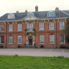
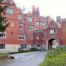
Bishop's Stortford retains its medieval street patterns and serves as a market town where local shops and traditional businesses still shape daily life. The town center shows how commerce and community have remained interwoven for generations.
The main towns are easily reached by car, bus, or train, with Bishop's Stortford and Ware serving as the primary transport hubs. Visitors should expect changing weather and wear sturdy footwear when exploring agricultural paths and village lanes.
Ware was historically famous for its malt breweries that used grain from local fields and shipped their beer upriver to London. This brewing tradition directly connected the region's agriculture to the beer that supplied England's capital.
The community of curious travelers
AroundUs brings together thousands of curated places, local tips, and hidden gems, enriched daily by 60,000 contributors worldwide.