Benington Castle, Grade I listed medieval castle in Benington, England
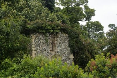
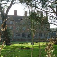
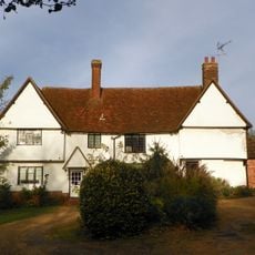
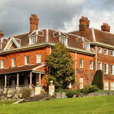
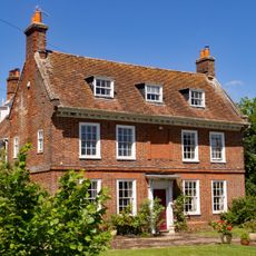
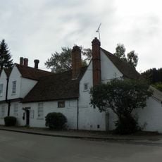
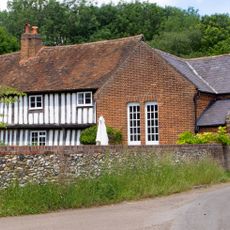
Benington Castle is a medieval castle in Benington, Hertfordshire, made up of earthwork mounds, surviving stone walls and the foundations of a keep set on a raised hilltop. The grounds also contain a Georgian country house and formal gardens that now surround the older remains.
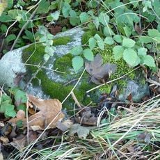
The site was used as a fortified settlement under Mercian kings in Saxon times before Peter de Valoignes built a motte-and-bailey castle in the late 11th century. King Henry II ordered the main structures to be demolished in the 12th century, ending its role as a military stronghold.
Benington Lordship, the country house on the grounds, was given a neo-Norman gatehouse in the early 1800s that was built to look deliberately old. Visitors walking through the gardens today pass between this staged medieval entrance and genuine medieval stonework a few steps away.
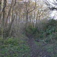
The site is entered through the garden areas, which open to visitors at certain times of the year, so it is worth checking ahead before visiting. The terrain is uneven in places due to the earthworks, so sturdy footwear makes the visit more comfortable.
The keep demolished in the 12th century was never rebuilt, and its stone foundations remain exposed in the open ground of the gardens today. The 19th-century garden layout was designed around these remains, making the ruins a planned part of the landscape rather than an overlooked leftover.
The community of curious travelers
AroundUs brings together thousands of curated places, local tips, and hidden gems, enriched daily by 60,000 contributors worldwide.