Wetwang, village and civil parish in East Riding of Yorkshire, United Kingdom
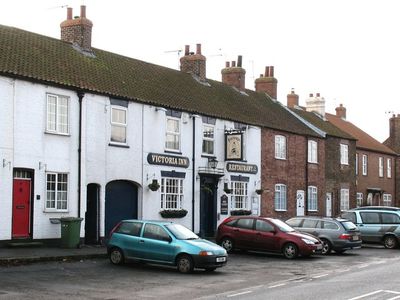
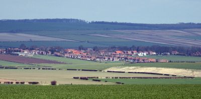
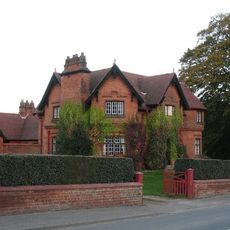
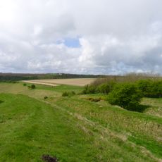
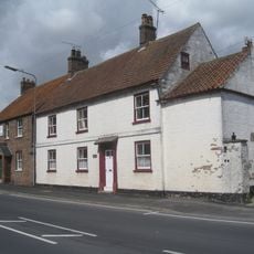
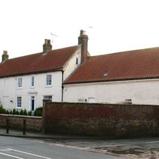
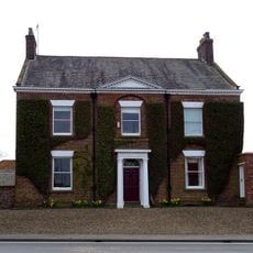
Wetwang is a small village in eastern Yorkshire, England, situated among rolling green hills of the Yorkshire Wolds. The settlement contains old stone houses, open farmland, and quiet country lanes that define its rural character.
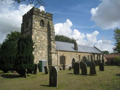
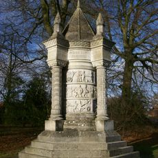
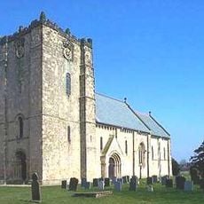
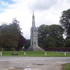
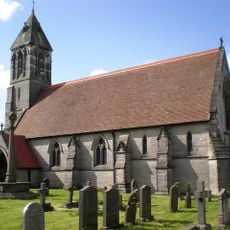
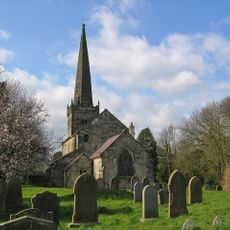
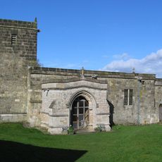
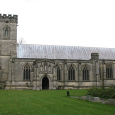
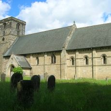
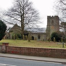
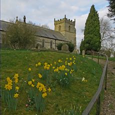
The earliest history involves an Iron Age burial site where people were buried with chariots. The Domesday Book records the village after the Norman Conquest in the 11th century, and the church of St. Nicholas dates from this period.
The name Wetwang comes from old languages and may mean 'field for legal disputes' or 'wet field' because of its damp ground. The village church and ancient burial sites show how the community has lived here for centuries and keeps its traditions alive.
The village is best explored on foot, with public paths leading through surrounding fields and woods. Bus connections are infrequent, so check schedules ahead if arriving by public transport.
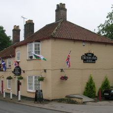
The place inspired J.R.R. Tolkien, who used the name in his Middle Earth world after being stationed nearby during the First World War. The village once had a flock of black swans that gave the local pub its name and was an unusual feature.
The community of curious travelers
AroundUs brings together thousands of curated places, local tips, and hidden gems, enriched daily by 60,000 contributors worldwide.