Stansted, village and parish in the Tonbridge and Malling district of the county of Kent, England, UK
Location: Tonbridge and Malling
Shares border with: Addington
GPS coordinates: 51.33590,0.30535
Latest update: March 6, 2025 00:10
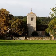
Church of St Peter and St Paul, Trottiscliffe
4.3 km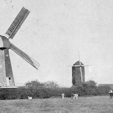
West Kingsdown Windmill
2.5 km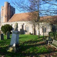
Parish Church of Saint Peter and Saint Paul
2.4 km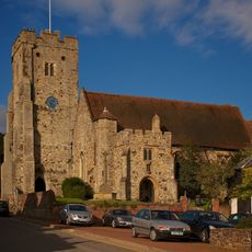
Church of St George
3 km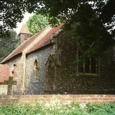
Church of Saint Peter
2 km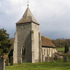
Church of St Mary
66 m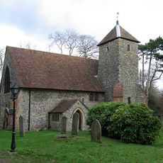
Church of Saint Edmund
2.9 km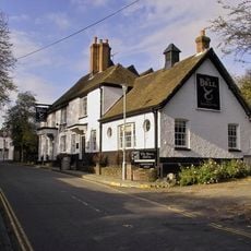
The Bull Hotel
3.1 km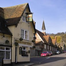
The Three Post Boys Public House
3 km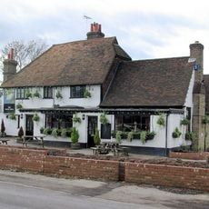
The White Swan Public House
2.5 km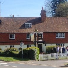
Moat Restaurant
3.7 km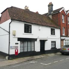
The Post Office
3.1 km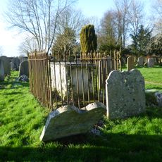
Monument To Lock Family In Churchyard Of Parish Church Of Saint Peter And Saint Paul
2.4 km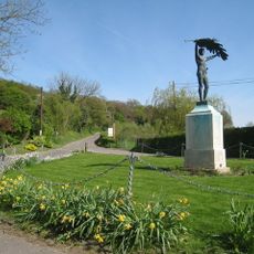
Stansted War Memorial
162 m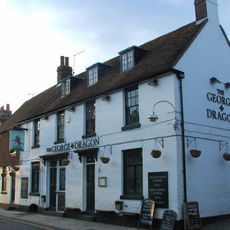
The George And Dragon Public House
3.1 km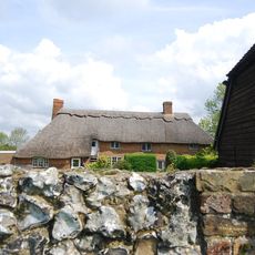
Owls Castle
3 km
Holywell Farmhouse
2 km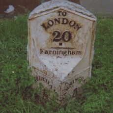
Two milestones at West Kingsdown
2.7 km
Greenfields
2.1 km
Johnson's Farmhouse
3.8 km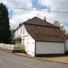
Hodsoll House
2 km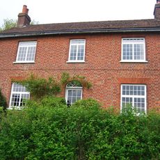
Hognore Farm House
2.9 km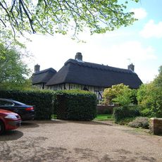
Swanswood Farm
4.5 km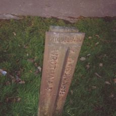
Milepost, London Road, opp "Sandsford House", outside "Ajacio", W of School Lane
2.8 km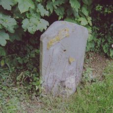
Milestone, Old London Road, W of jct with High Street, opp. Coach Lodge
2.9 km
Rumney Farmhouse
1.5 km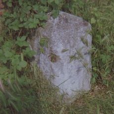
Milestone, London Road, by Old Napicar Cottage, opp. Nepicar Oast House, S of The Mount PH
3.7 km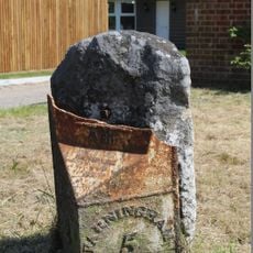
Milepost, London Road, by Holly Lodge, W of Ash Lane
1.7 kmVisited this place? Tap the stars to rate it and share your experience / photos with the community! Try now! You can cancel it anytime.
Discover hidden gems everywhere you go!
From secret cafés to breathtaking viewpoints, skip the crowded tourist spots and find places that match your style. Our app makes it easy with voice search, smart filtering, route optimization, and insider tips from travelers worldwide. Download now for the complete mobile experience.

A unique approach to discovering new places❞
— Le Figaro
All the places worth exploring❞
— France Info
A tailor-made excursion in just a few clicks❞
— 20 Minutes