Tonbridge and Malling, Administrative district in Kent, England
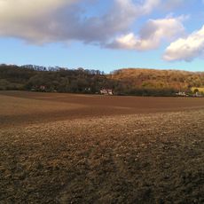
Tonbridge and Malling is an administrative district in Kent that stretches across varied terrain from the North Downs through the Medway Valley with a mix of settled towns, villages, and open countryside. The area includes several medium-sized towns alongside rural landscapes and green spaces throughout its extent.
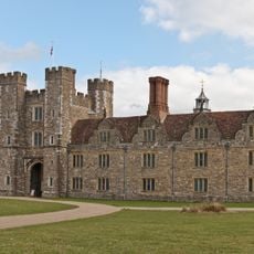
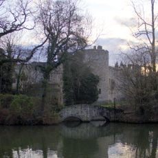
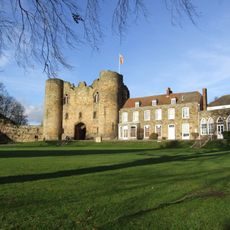
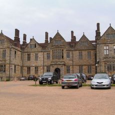
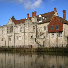
Following the Norman Conquest in 1066, Tonbridge Castle was built as an initial fortified structure and subsequently rebuilt in stone as a major stronghold. The district developed over centuries with several settlements growing along important trade routes through the valleys.
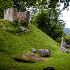
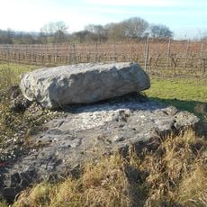
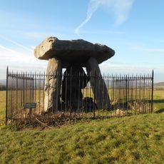
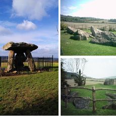
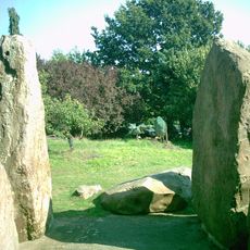
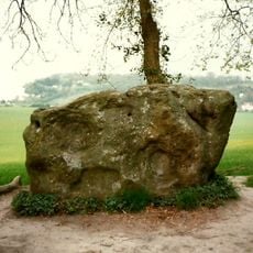
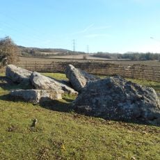
The district preserves Neolithic monuments, including Kit's Coty House and the Coldrum Stones, which represent early settlement patterns in the Medway Valley.
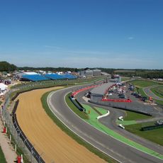
The district has six railway lines and motorway connections that link residents to London while protecting large green areas within the Metropolitan Green Belt. Visiting is easiest in spring and autumn when the weather is mild and the countryside looks its best.
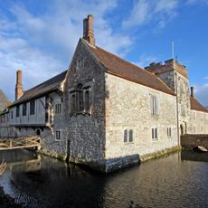
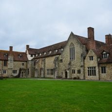
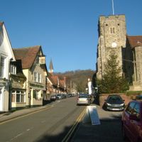
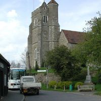
The administrative center of West Malling contains St. Leonard's Tower from 1080 alongside a nearby church with Norman details and design. These two structures stand close together and reveal how this area historically connected religious and secular authority in a single location.
The community of curious travelers
AroundUs brings together thousands of curated places, local tips, and hidden gems, enriched daily by 60,000 contributors worldwide.