
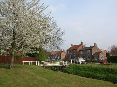
Wilberfoss, village in the United Kingdom
Location: East Riding of Yorkshire
GPS coordinates: 53.94892,-0.88821
Latest update: March 2, 2025 19:57
HM Prison Full Sutton
4.1 km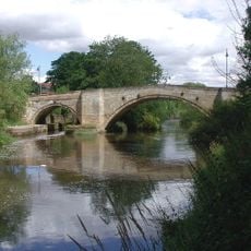
Stamford Bridge
5.1 km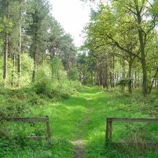
Allerthorpe Common
4.5 km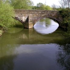
Kexby Old Bridge
2.5 km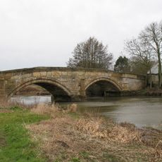
Sutton Bridge, Yorkshire
4.1 km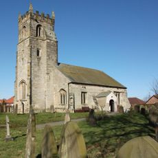
Church of St John the Baptist
235 m
Church of Saint Michael and All Angels
4.4 km
Church of Saint Martin
5.9 km
Church of St Mary
4.9 km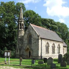
Church of Saint Paul
3 km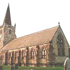
Church of St Catherine
5 km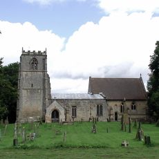
Church of All Saints
4 km
Church of St Martin
4.4 km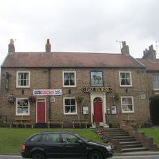
Bay Horse Inn
5 km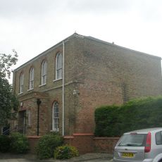
Wesleyan Methodist Chapel
5 km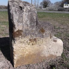
Milestone, W of Kexby
3.6 km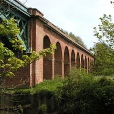
Stamford Bridge Railway Viaduct
5 km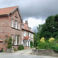
The Old Rectory
3.9 km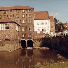
The Corn Mill
5 km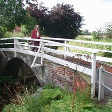
Church Bridge
175 m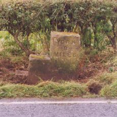
Milestone, Concrete Post, W of entrance to High Burtonfields Farm
5.4 km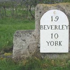
Milestone Opposite The Squirrels Public House
2.4 km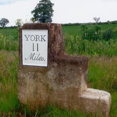
Milestone At Se 758562
6 km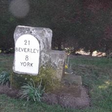
Milestone, Main Street Wilberfoss
525 m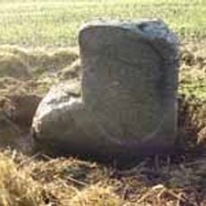
Milestone, just W of Full Sutton jct.
5.6 km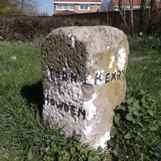
Guidestone, N end of village
4.4 km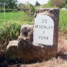
Milestone, just W of Catton Lane jct.
2.1 km
Milestone, Carved Stone Post, W of entrance to High Burtonfields Farm
5.4 kmVisited this place? Tap the stars to rate it and share your experience / photos with the community! Try now! You can cancel it anytime.
Discover hidden gems everywhere you go!
From secret cafés to breathtaking viewpoints, skip the crowded tourist spots and find places that match your style. Our app makes it easy with voice search, smart filtering, route optimization, and insider tips from travelers worldwide. Download now for the complete mobile experience.

A unique approach to discovering new places❞
— Le Figaro
All the places worth exploring❞
— France Info
A tailor-made excursion in just a few clicks❞
— 20 Minutes