
Enville, village in United Kingdom
Location: South Staffordshire
GPS coordinates: 52.47794,-2.25909
Latest update: March 13, 2025 01:51
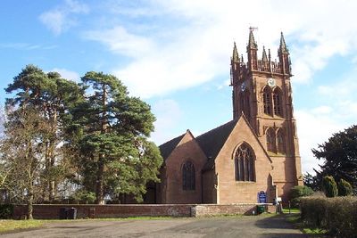
Church of the Holy Cross
4.2 km
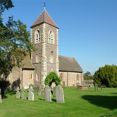
Church of St Mary, Enville
192 m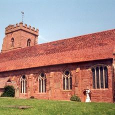
Church of St Peter
4.2 km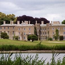
Enville Hall
506 m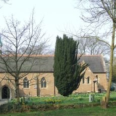
The Church of Holy Innocents
4 km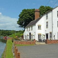
Staffordshire and Worcestershire Canal Pair Of Houses At Stewponey Lock
4.1 km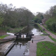
Botterham bridge and locks with adjacent circular weir
5.8 km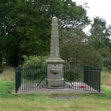
Kinver War Memorial
4 km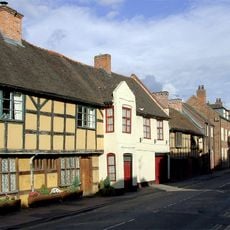
18, 19 And 20, High Street
4 km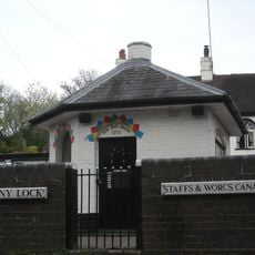
Staffordshire And Worceshire Canal Toll House At Stewponey Lock
4.1 km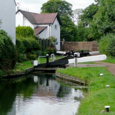
Stourton Lock Number 2
4.2 km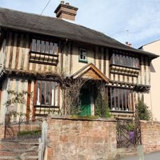
Ye Olde Grammar School
4.2 km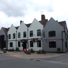
Ye Olde White Harte
3.9 km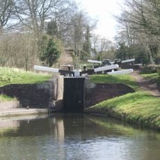
Stourbridge Canal Pair Of Locks At Junction With Staffordshire And Worceshire Canal
4 km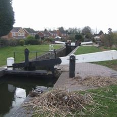
Stourbridge Canal Stourton Lock Number 1
4.3 km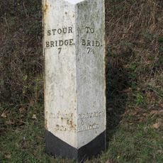
Milepost At Ngr So 80538754
2.1 km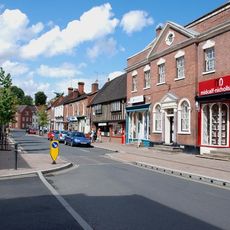
28 And 29, High Street
4 km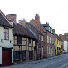
17, High Street
4.1 km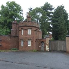
The Gate House And Attached Walls And Gate Piers
3.8 km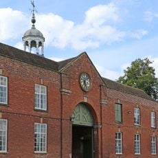
Coach House And Stable Block
503 m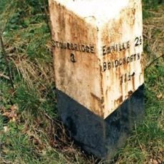
Milepost, top of Stourton Bank
3.5 km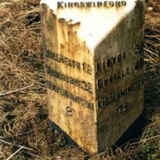
Milepost, S of Gorse Corner
4.6 km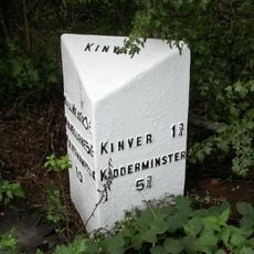
Milepost, S of Stowton, nr Dunsley turn
4.3 km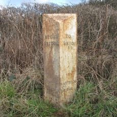
Milepost, W Broad Oak, just w of jct with Broad Oak Lane
5.2 km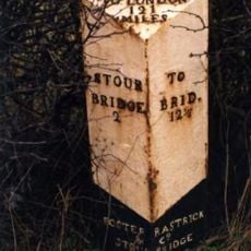
Milepost, The Hawthorns, between Wollaston & Stourton
5 km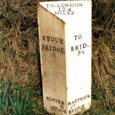
Milepost, SE of Enville village
610 m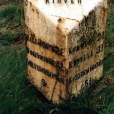
Milepost, Newlands
4.4 km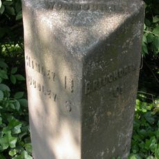
Milepost, SE of Smestow Bridge
6.5 kmVisited this place? Tap the stars to rate it and share your experience / photos with the community! Try now! You can cancel it anytime.
Discover hidden gems everywhere you go!
From secret cafés to breathtaking viewpoints, skip the crowded tourist spots and find places that match your style. Our app makes it easy with voice search, smart filtering, route optimization, and insider tips from travelers worldwide. Download now for the complete mobile experience.

A unique approach to discovering new places❞
— Le Figaro
All the places worth exploring❞
— France Info
A tailor-made excursion in just a few clicks❞
— 20 Minutes