Enable Location

We need your location to show you interesting places around you

Discover nearby places

Find interesting locations and hidden gems around you

Precise directions

Get accurate directions and distances to places

Your location is never shared with other users. It's only used when you tap the location button.

Log in to your account

Start exploring — it's free

Trusted by 62,033 travelers worldwide

Continue with Google
Continue with Apple
or

We will send you a code to connect

By continuing, you accept our Terms and Conditions and our Privacy Policy

Check your inbox

We've sent a pincode in your inbox. Please enter the code below.

South Staffordshire, Administrative district in western Staffordshire, England

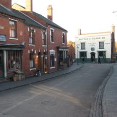
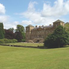
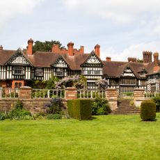
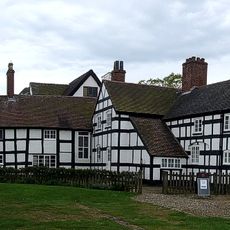
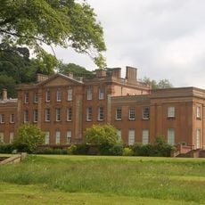
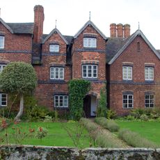
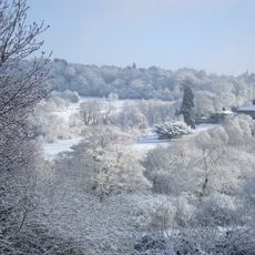
South Staffordshire is a rural administrative district in western Staffordshire that stretches between Wolverhampton and Cannock Chase. The area contains scattered villages, woodlands, and open countryside that vary in character from developed town edges to isolated hamlets.

The area was formed in 1974 through the merging of two former rural districts into one administrative unit. This reorganization aimed to streamline local government across the region.

The district maintains fifteen parish councils that organize local events and manage community spaces, fostering strong connections among residents through various seasonal celebrations.

The area is easily reached by car or bus and features scattered villages with shops and services throughout. Visitors will find good walking routes and natural spaces, particularly around Kinver Edge and Cannock Chase.

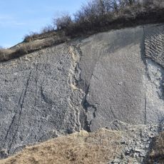
Kinver Edge contains ancient rock-cut houses that were carved directly into sandstone cliffs. This unusual dwelling form offers visitors a surprising glimpse into how people once lived within the stone itself.

The community of curious travelers

AroundUs brings together thousands of curated places, local tips, and hidden gems, enriched daily by 60,000 contributors worldwide.

Start exploring
Location
Inception
April 1, 1974
Capital city
Codsall
GPS coordinates
52.62580,-2.19180
Latest update
December 7, 2025 19:25
« South Staffordshire - Administrative district in western Staffordshire, England » is provided by Around Us (aroundus.com). Images and texts are derived from Wikimedia project under a Creative Commons license. You are allowed to copy, distribute, and modify copies of this page, under the conditions set by the license, as long as this note is clearly visible.

Discover hidden gems everywhere you go!

From secret cafés to breathtaking viewpoints, skip the crowded tourist spots and find places that match your style. Our app makes it easy with voice search, smart filtering, route optimization, and insider tips from travelers worldwide. Download now for the complete mobile experience.

Around Us App Screenshot

A unique approach to discovering new places

Le Figaro

All the places worth exploring

France Info

A tailor-made excursion in just a few clicks

20 Minutes

Around Us
Travel Guide & Maps
Download

Send to your phone

QR Code
1

Open the camera app on your mobile.

2

Point at the QR code with your camera. A notification will appear.

3

Tap the notification to open the link.