
Eastergate, village in the United Kingdom
Location: Barnham and Eastergate
GPS coordinates: 50.84166,-0.65792
Latest update: March 6, 2025 20:44
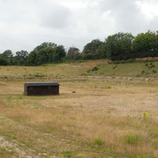
Eartham Pit
3.8 km
Tangmere Military Aviation Museum
4 km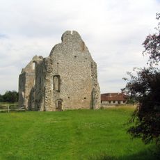
Boxgrove Priory
4.3 km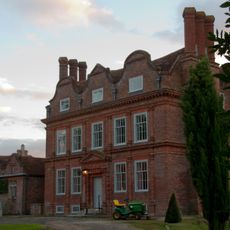
Barnham Court
2.2 km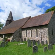
St Mary's Church, Walberton
2.6 km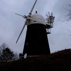
John Baker's Mill
2.7 km
Aldingbourne House
2.5 km
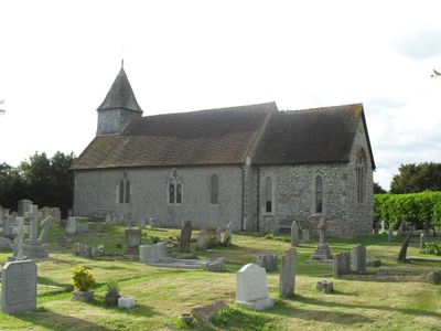
St George's Church
449 m
St Andrew's Church, Tangmere
4.4 km
Bilsham Chapel
4.3 km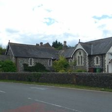
Yapton Free Church
3.8 km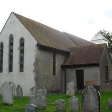
The Parish Church of St Mary
2.2 km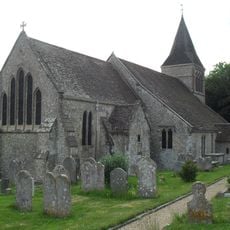
The Parish Church of St Mary
3.2 km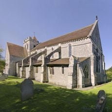
The Priory Church of St Mary and St Blaize, Bloxworth
4.2 km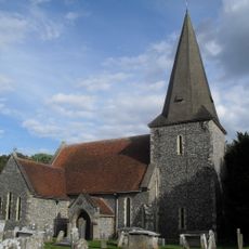
The Parish Church of St Andrew
4.5 km
The Parish Church of St Mary
4.1 km
The Parish Church of St Margaret
3.9 km
The Parish Church of St Mary
2.2 km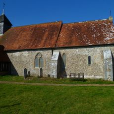
Church of St Mary
3.7 km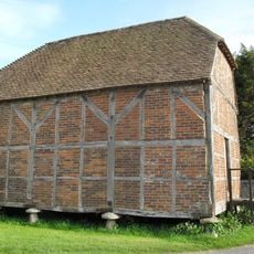
Granary/Outbuilding at Manor Farm to the north west of the Farmhouse
393 m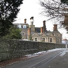
Slindon House
3.3 km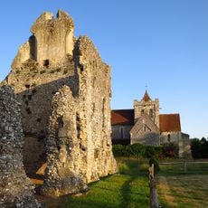
Boxgrove Priory
4.3 km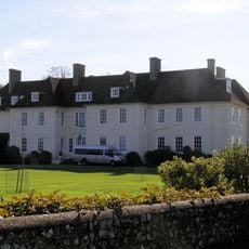
Eartham House
3.8 km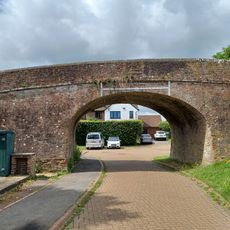
Old Canal Bridge, On Footpath 157
3.8 km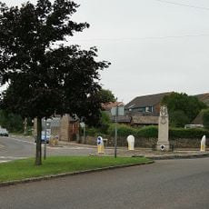
Eastergate War Memorial
195 m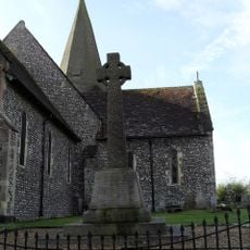
Oving War Memorial
4.5 km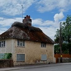
19, Burndell Road
4.5 km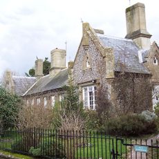
The Almshouses
4.5 kmVisited this place? Tap the stars to rate it and share your experience / photos with the community! Try now! You can cancel it anytime.
Discover hidden gems everywhere you go!
From secret cafés to breathtaking viewpoints, skip the crowded tourist spots and find places that match your style. Our app makes it easy with voice search, smart filtering, route optimization, and insider tips from travelers worldwide. Download now for the complete mobile experience.

A unique approach to discovering new places❞
— Le Figaro
All the places worth exploring❞
— France Info
A tailor-made excursion in just a few clicks❞
— 20 Minutes