
Stapleford, town in Nottinghamshire, England
Location: Broxtowe
Shares border with: Ilkeston
Website: http://stapleford-notts.co.uk
GPS coordinates: 52.92940,-1.27450
Latest update: April 6, 2025 02:56

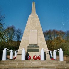
National Shell Filling Factory Memorial
2.8 km
Church of St Giles
872 m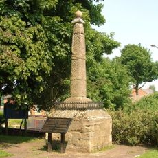
Stapleford Cross
219 m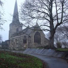
St. Helen's Church, Stapleford
256 m
St Helen's Church, Trowell
2.7 km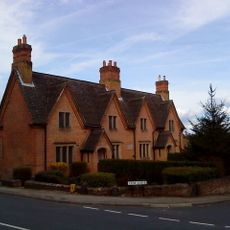
Frances Longden Almshouses
2 km
Church of St. Michael and All Angels, Bramcote
2 km
St. Luke's Church, Stapleford
1.3 km
St. Barnabas Church, Inham Nook
3.4 km
Church of St Michael and All Angels
2.6 km
Stanton-By-Dale War Memorial
2.6 km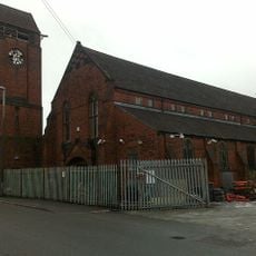
Tower Of St Bartholomews Church
2.8 km
Cemetery Chapel And Mortuary
348 m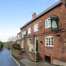
The White Lion
2 km
Springfield Mill Factory And Chimney
1 km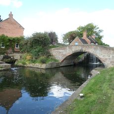
Bridge At Sandiacre Lock
1.5 km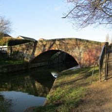
Canal Bridge At Sk 484 351
2.2 km
Beech House At Sandiacre Lock
1.5 km
16–24, Stanhope Street
2.5 km
Sunken Church
2 km
101, Town Street
2 km
Gates And Gatepiers At Church Of St Helen
209 m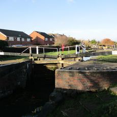
Lock At Sk 484 351
2.1 km
The Grange And Conservatory
2.1 km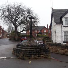
Village Cross
2.5 km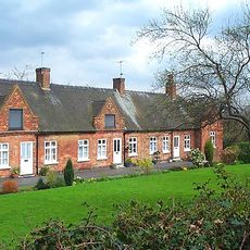
Middlemores Almshouses
2.5 km
Milestone, High Road, Chilwell; immediately W of The Close
3.1 km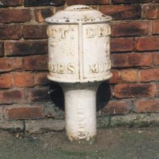
Bobbin Milepost To South Of Number 103 At Sk 4761 3640
1.5 kmVisited this place? Tap the stars to rate it and share your experience / photos with the community! Try now! You can cancel it anytime.
Discover hidden gems everywhere you go!
From secret cafés to breathtaking viewpoints, skip the crowded tourist spots and find places that match your style. Our app makes it easy with voice search, smart filtering, route optimization, and insider tips from travelers worldwide. Download now for the complete mobile experience.

A unique approach to discovering new places❞
— Le Figaro
All the places worth exploring❞
— France Info
A tailor-made excursion in just a few clicks❞
— 20 Minutes