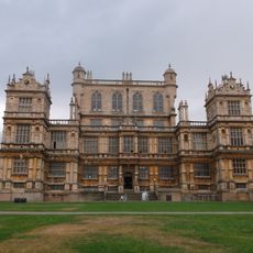
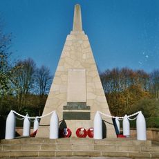
Broxtowe, Borough district in Nottinghamshire, England
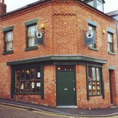
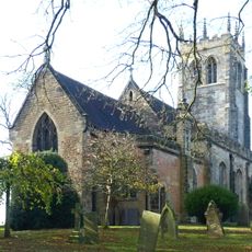
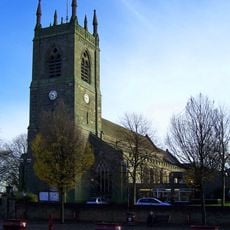
Broxtowe is a local government district west of Nottingham city that contains four main towns including Beeston, Stapleford, Kimberley, and Eastwood. The area spans nine civil parishes and several unparished areas with a combined population of around 112,000 residents.
The district was created in 1974 during a major reorganization of local government in England that combined sections of Beeston, Stapleford Urban District, Eastwood Urban District, and Basford Rural District. This merger brought together several formerly separate administrative areas into a single unified district.
The D.H. Lawrence Birthplace Museum in Eastwood shows where the acclaimed writer spent his early years, reflecting the industrial character of the area. Visitors can see how the working-class neighborhoods shaped both his life and his writing.
The local administration operates from Beeston, which serves as the main center for public services across the district. Each of the four main towns has its own shops and facilities, making it easy to explore different parts of the area.
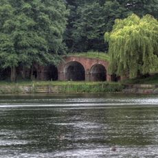
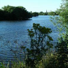
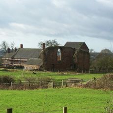
The Attenborough Nature Reserve sits on the site of former gravel quarries that have been transformed into wetland habitats supporting diverse bird populations. Walking trails wind through this reclaimed landscape, showing how industrial land can become important wildlife areas.
The community of curious travelers
AroundUs brings together thousands of curated places, local tips, and hidden gems, enriched daily by 60,000 contributors worldwide.