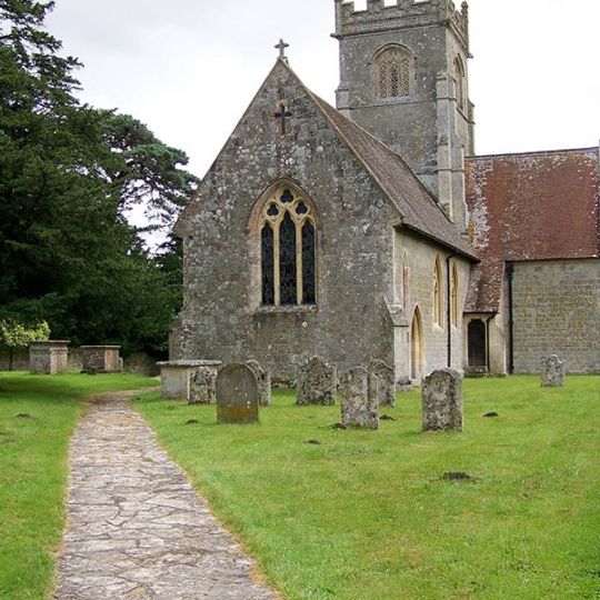
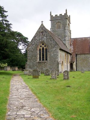
Berwick St John, village in the United Kingdom
The community of curious travelers
AroundUs brings together thousands of curated places, local tips, and hidden gems, enriched daily by 60,000 contributors worldwide.
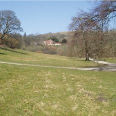
Ashcombe House
2.6 km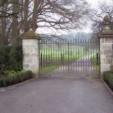
Ferne House
1.7 km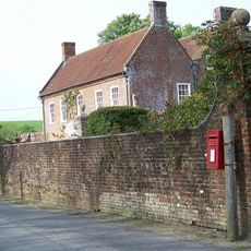
Alvediston Manor
3.2 km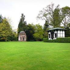
Larmer Tree Gardens
5.3 km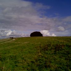
Win Green Down
2.4 km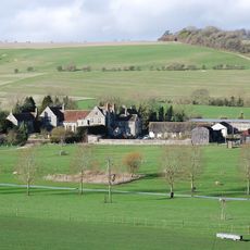
Norrington Manor
2.4 km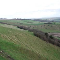
Gallows Hill SSSI, Wiltshire
2.2 km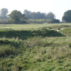
Iron Age and Romano-British settlement remains on Woodcutts Common, 850m south east and 845m SSE of Arundell Cottages
4.5 km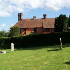
King John's House, Tollard Royal
4.6 km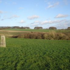
Iron Age and Romano-British settlement remains on Rotherley Down
2.8 km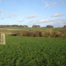
Rotherley Downs
2.7 km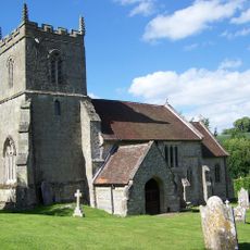
Church of St Peter Ad Vincula
4.6 km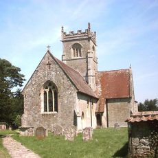
Church of St John
148 m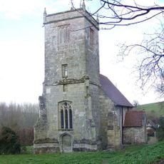
Church of St John the Baptist
4.8 km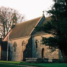
Church of St Nicholas
5.7 km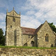
Church of St Mary
3.4 km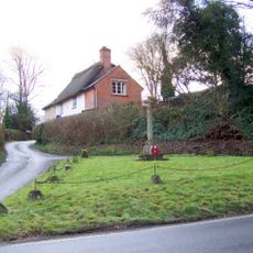
Tollard Royal And Rushmore War Memorial
4.5 km
Singing Theatre
5.4 km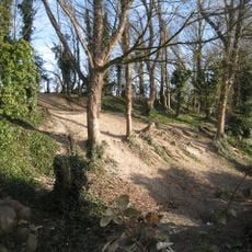
Winkelbury Hill earthworks
1.2 km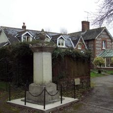
Ebbesbourne Wake War Memorial
4.9 km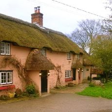
The Crown Inn
3.2 km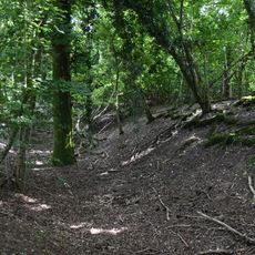
Camp in Mistlebury Wood
5.6 km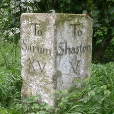
Milestone Near Parish Boundary With Donhead St Andrew
2.5 km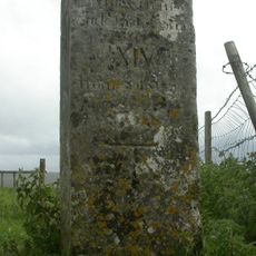
Whitesheet Hill milestone
1.9 km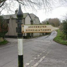
Guide Post At Cross Roads
2.7 km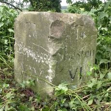
Milestone About 250 Metres To South West Of New Barn Lodge
3.4 km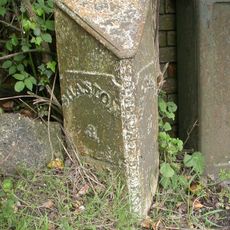
Milepost, Ludwell; E of village next to jcn Dennis Lane
3.6 km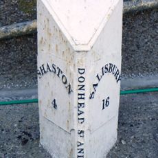
Milepost In Front Of Number 150
2.5 kmDiscover hidden gems everywhere you go!
From secret cafés to breathtaking viewpoints, skip the crowded tourist spots and find places that match your style. Our app makes it easy with voice search, smart filtering, route optimization, and insider tips from travelers worldwide. Download now for the complete mobile experience.

A unique approach to discovering new places❞
— Le Figaro
All the places worth exploring❞
— France Info
A tailor-made excursion in just a few clicks❞
— 20 Minutes
