Seacroft, Residential suburb in Leeds, England
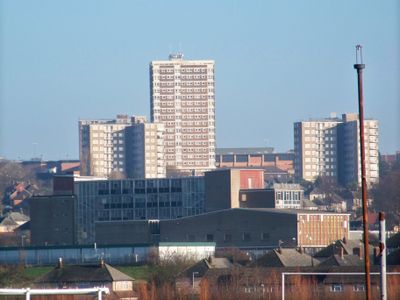
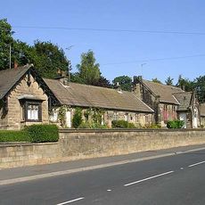
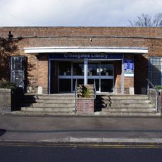
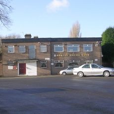
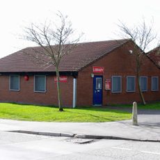
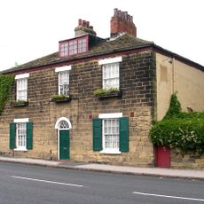
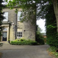
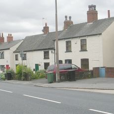
Seacroft is a residential suburb east of Leeds comprised of housing estates and terraced neighborhoods that form the area's primary character. The district is anchored by Seacroft Green, a central commercial and social zone, and a shopping center serving daily needs.
The settlement originates from prehistoric times and first appeared in the 1086 Domesday Book under the name Sacroft. Modern growth transformed it into a residential area during the 20th century as demand for housing near Leeds increased.
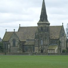
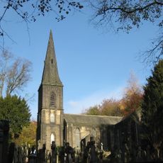
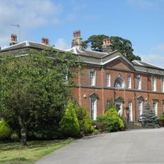
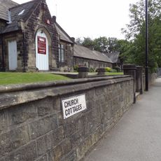
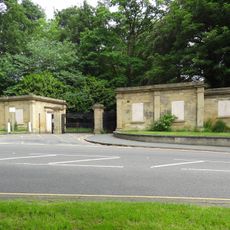
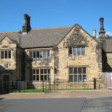
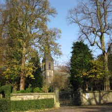
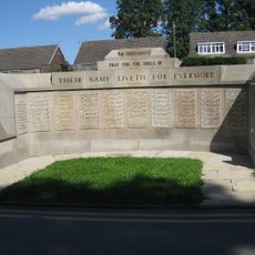
The Green functions as a social hub where residents gather and interact daily. The area has maintained its role as a meeting point for the community, with the 1845 parish church anchoring the neighborhood's identity.
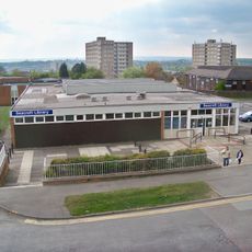
The area is well served by bus routes that link to Leeds city center with regular services throughout the day. Local amenities like shops and schools are within walking distance of most neighborhoods, making daily errands convenient.
Excavations during mid-20th century construction uncovered a Neolithic stone tool and Roman silver coins buried in the ground. These discoveries reveal how ancient populations moved through and settled across this landscape over thousands of years.
Location: West Yorkshire
GPS coordinates: 53.82220,-1.45990
Latest update: December 7, 2025 20:22
Church of the Epiphany
2.3 km
St. James' Church, Seacroft
405 m
Former Seacroft Library
188 m
St Johns Church Of England Primary School And St Johns Almshouses Numbers 1-7 (Consecutive)
2.1 km
Parish Church of St John
2.1 km
Cricketers Arms Public House
256 m
Crossgates Library
1.7 km
Scholes Library
2 km
Adrian Social Club and Institute
1.9 km
Elmete Hall
2.2 km
Tower At Seacroft Hospital
1.9 km
Hollin Hill House
2.4 km
Redhall House
2.4 km
Whinmoor Library
1.7 km
Eller Close
2.3 km
St Johns House
2.1 km
Boundary Wall To St Johns School And Almshouses
2.1 km
The Old Lamb Guesthouse
851 m
Grove House East And Grove House West, Grove House Court
2.2 km
Two Lodges At South Gate Of Roundhay Park, Walls, Gate Piers, Gates And Bollards
2.4 km
1049 And 1051, York Road
568 m
The Grange
227 m
Boundary Wall, Gate Piers And Gates On South Side Of St Johns Churchyard
2.1 km
Barnbow Shell Factory Workers Memorial
1.6 km
Coach House And Service Range To The Grange
213 m
Beechwood With Wall And Gate Piers
1.9 km
Killingbeck Cemetery War Memmorial
1.9 km
Memorial to the Barnbow Lasses, Manston Park, Cross Gates, Leeds
1.9 kmVisited this place? Tap the stars to rate it and share your experience / photos with the community! Try now! You can cancel it anytime.
Discover hidden gems everywhere you go!
From secret cafés to breathtaking viewpoints, skip the crowded tourist spots and find places that match your style. Our app makes it easy with voice search, smart filtering, route optimization, and insider tips from travelers worldwide. Download now for the complete mobile experience.
A unique approach to discovering new places❞
— Le Figaro
All the places worth exploring❞
— France Info
A tailor-made excursion in just a few clicks❞
— 20 Minutes