CityPoint, Modern skyscraper in City of London, England.
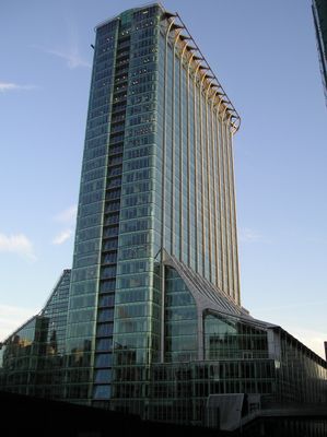
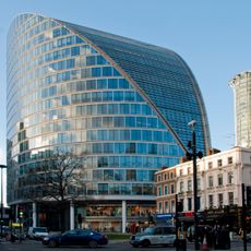
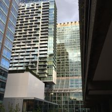
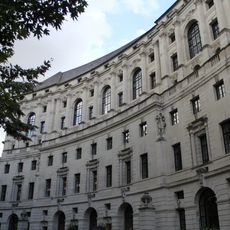
CityPoint is a modern high-rise in the City of London, standing 127 meters tall across 36 floors. The facade is made of green-tinted glass panels and silver metal frames, and the building contains offices, shops, restaurants, fitness facilities, and parking.
The building was completed in 1967 as Britannic House, where it served as the headquarters of British Petroleum. A major renovation between 1998 and 2000 gave it its current name and appearance.
The ground floor holds two bright galleries where restaurants offer Italian and Peruvian food side by side. The open layout makes it a natural meeting point for people working nearby.
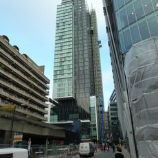
The building sits in the heart of the City of London and is within walking distance of several Underground stations. Several entrances and on-site parking make it easy to find your way in and out.
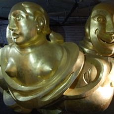
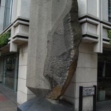
Just next to the building, a public outdoor space of roughly 4,000 square meters (about 43,000 square feet) regularly hosts rotating art installations. Temporary works appear there in summer and winter, catching most passersby off guard.
The community of curious travelers
AroundUs brings together thousands of curated places, local tips, and hidden gems, enriched daily by 60,000 contributors worldwide.