
Aston Tirrold, village and civil parish in South Oxfordshire district, South Oxfordshire, England
Location: South Oxfordshire
Shares border with: Aston Upthorpe, Cholsey, South Moreton
Website: http://theastons.net
GPS coordinates: 51.57000,-1.19800
Latest update: March 2, 2025 23:52
Blewburton Hill
1 km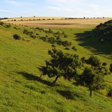
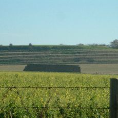
Aston Upthorpe Downs
2.8 km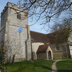
Church of St Michael
92 m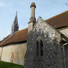
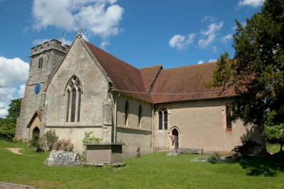
Church of All Saints
433 m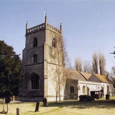
Church of St Michael
2.5 km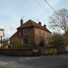
The Chequers Inn Public House
295 m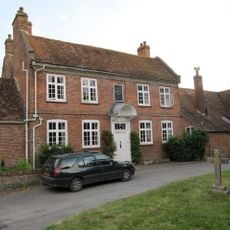
Malthus Schoolhouse
2.6 km
Dragonwyke And Winding Way Cottage
2.3 km
The Manor House
93 m
Turnpike House
2.5 km
9, Aston Street
84 m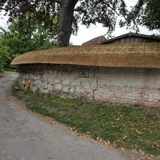
Clunch Wall approximately 35 metres East of Orchrd Dene House, at junction with South Street
2.3 km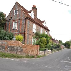
Edlins
495 m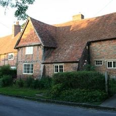
Great Tree and Ilburys
2.7 km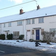
3, Treble House Terrace
2.6 km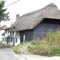
The Old Bakehouse
208 m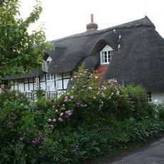
Stocks
2.7 km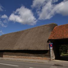
Great Tree Farm Barn And Attached Covered Gateway
2.7 km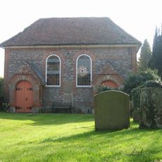
United Reform Church And Vestry
278 m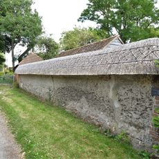
Cob Wall approximately 20 metres south west of numbers 1 and 2 Aston Street
61 m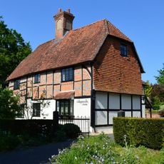
Nottingham Fee House
2.7 km
The Manse
212 m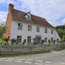
Crossways
50 m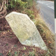
Milestone Su 5563 8525
738 m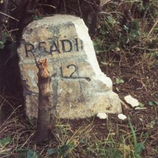
Milestone At Su 5685 8425
2.1 km
Thorpe Farmhouse And Barn
451 m
Milestone, Moulsford Bottom, where hill rises to E
3.6 km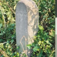
Milestone, Blewbury Hill; W of Blewbury Farm, Baldon Hill
1.7 kmVisited this place? Tap the stars to rate it and share your experience / photos with the community! Try now! You can cancel it anytime.
Discover hidden gems everywhere you go!
From secret cafés to breathtaking viewpoints, skip the crowded tourist spots and find places that match your style. Our app makes it easy with voice search, smart filtering, route optimization, and insider tips from travelers worldwide. Download now for the complete mobile experience.

A unique approach to discovering new places❞
— Le Figaro
All the places worth exploring❞
— France Info
A tailor-made excursion in just a few clicks❞
— 20 Minutes