
Witherslack, village and former civil parish in South Lakeland, Cumbria, England, UK
Location: Witherslack, Meathop and Ulpha
GPS coordinates: 54.24722,-2.87028
Latest update: March 31, 2025 22:48
Castle Head Field Centre
4.2 km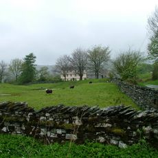
Cowmire Hall and wall running approximately 20 metres to east, with gate piers
4.9 km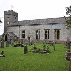
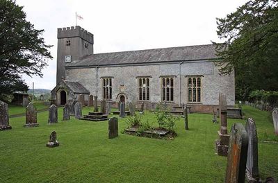
St Paul's Church
400 m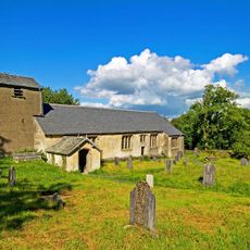
St Anthony's Church, Cartmel Fell
4.6 km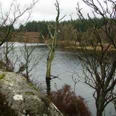
Simpson Ground Reservoir
4.5 km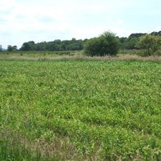
Meathop Moss
2.3 km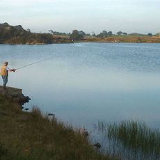
High Newton Lower Reservoir
3.4 km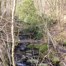
Way Beck
2.2 km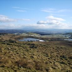
High Newton Upper Reservoir
3.5 km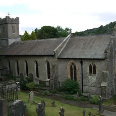
Church of St Paul
4 km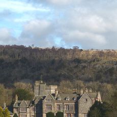
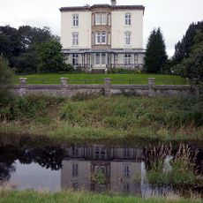
Witherslack Hall
2.3 km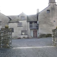
Hodge Hill Hall
4.6 km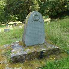
Cartmel Fell War Memorial
4.5 km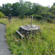
Base of sundial approximately 15 metres to south-east of St Anthony's church
4.5 km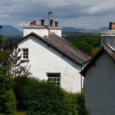
Pool Bank House
4 km
Bleacrag Bridge
1.1 km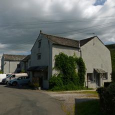
Barn immediately to north of Pool Bank Farmhouse
4 km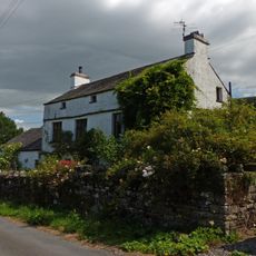
Pool Bank North with outbuilding
4.1 km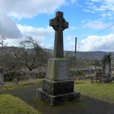
Witherslack War Memorial
408 m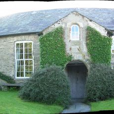
Barrow Wife
2.9 km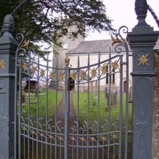
Gatepiers and overthrow to south of Church of St Paul
370 m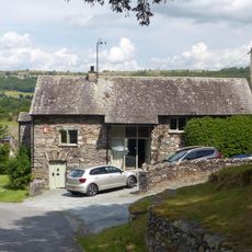
Former barn approximately 40 metres to north of Hodge Hill
4.6 km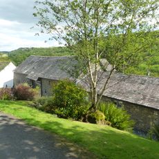
Barn immediately to south of Pool Bank
3.9 km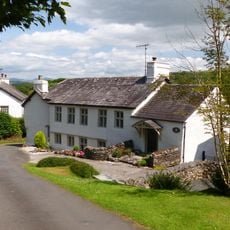
Pool Bank Farmhouse
4 km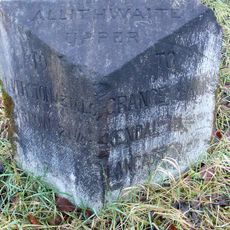
Milestone, by bridge to Moss End Farm, Lindale bypass
3.5 km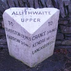
Milestone, High Newton
3.2 km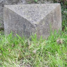
Milestone, E of Lindale
3.8 km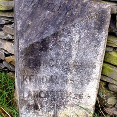
Milestone, N of Ayside
4 kmVisited this place? Tap the stars to rate it and share your experience / photos with the community! Try now! You can cancel it anytime.
Discover hidden gems everywhere you go!
From secret cafés to breathtaking viewpoints, skip the crowded tourist spots and find places that match your style. Our app makes it easy with voice search, smart filtering, route optimization, and insider tips from travelers worldwide. Download now for the complete mobile experience.

A unique approach to discovering new places❞
— Le Figaro
All the places worth exploring❞
— France Info
A tailor-made excursion in just a few clicks❞
— 20 Minutes