Cowmire Hall and wall running approximately 20 metres to east, with gate piers
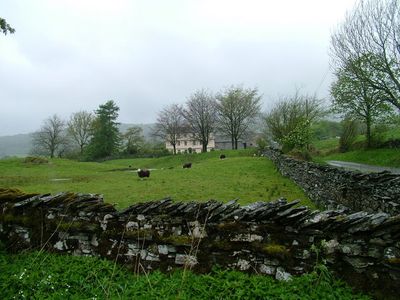
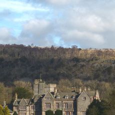
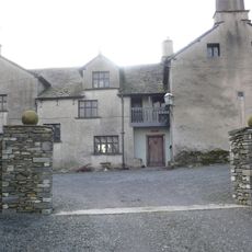
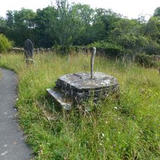
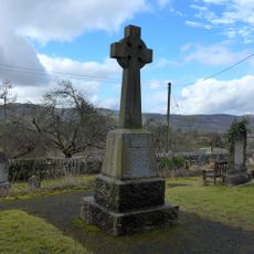
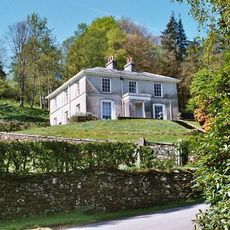
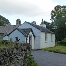
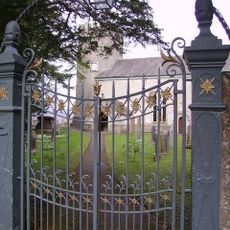
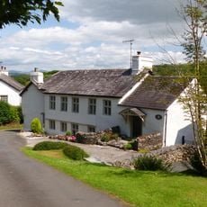
Cowmire Hall and wall running approximately 20 metres to east, with gate piers, Historical house in Crosthwaite and Lyth, England.
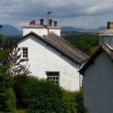
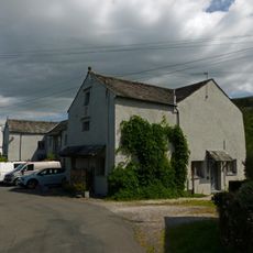
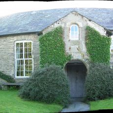
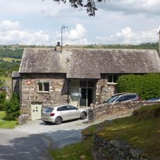
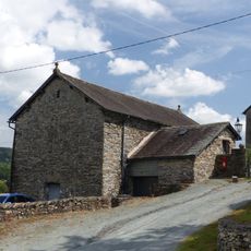
Cowmire Hall is a Grade II* listed property in the Cumbrian countryside featuring stone walls, original gate piers, and attached farm buildings arranged around the site. The main house sits as part of a larger residential and agricultural complex that developed over several centuries.
The building began as a tower house in the early 1500s during a period when such defensive structures were common in northern England. A major transformation occurred in the late 1600s when extensive modifications created a more comfortable residence suitable for the landowner's family.
The property demonstrates the architectural evolution of English country houses from medieval tower structures to refined residential buildings through centuries.
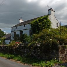
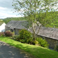
The property sits on private grounds in a rural setting without public vehicle access to the main buildings. The stone walls and gate piers are visible from the nearby road, which provides the best viewing point for the site.
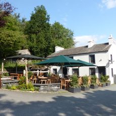
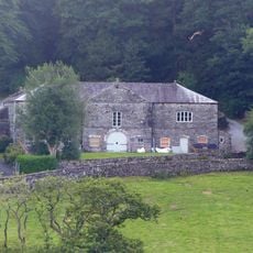
The site now operates a distillery facility in one of the converted farm buildings, bringing contemporary craft production to a centuries-old estate. This modern use demonstrates how traditional agricultural properties can be revitalized with new commercial purposes while maintaining their heritage character.
Location: Crosthwaite and Lyth
GPS coordinates: 54.29080,-2.88100
Latest update: December 14, 2025 18:45
Gummer's How
3.7 km
St Paul's Church
4.5 km
St Anthony's Church, Cartmel Fell
1.3 km
Simpson Ground Reservoir
4.1 km
Way Beck
3.1 km
Church of St Mary
3.1 km
Witherslack Hall
2.7 km
Masons Arms
1.6 km
Hodge Hill Hall
1.1 km
Cartmel Fell War Memorial
1.3 km
Winster Bridge (that part in Cartmel)
4.2 km
Base of sundial approximately 15 metres to south-east of St Anthony's church
1.3 km
Pool Bank House
900 m
Witherslack War Memorial
4.5 km
Barn immediately to north of Pool Bank Farmhouse
899 m
Barrow Wife
4.4 km
Pool Bank North with outbuilding
866 m
Winster House
4.4 km
Farm buildings approximately 20 metres to north of Winster House, and adjoining wall
4.5 km
Winster School
4.5 km
Gatepiers and overthrow to south of Church of St Paul
4.6 km
Former barn approximately 40 metres to north of Hodge Hill
1 km
Footbridge Approximately 70 Metres To West Of Dodds Howe
3 km
Pool Bank Farmhouse
930 m
Limekiln at SD 435 895
1.1 km
Barn immediately to south of Pool Bank
968 m
Milestone, Hollin Bank
4.3 km
Barn approximately 10 metres to north of Hodge Hill
1 kmVisited this place? Tap the stars to rate it and share your experience / photos with the community! Try now! You can cancel it anytime.
Discover hidden gems everywhere you go!
From secret cafés to breathtaking viewpoints, skip the crowded tourist spots and find places that match your style. Our app makes it easy with voice search, smart filtering, route optimization, and insider tips from travelers worldwide. Download now for the complete mobile experience.
A unique approach to discovering new places❞
— Le Figaro
All the places worth exploring❞
— France Info
A tailor-made excursion in just a few clicks❞
— 20 Minutes