Gummer's How, Mountain summit in Lake District, England
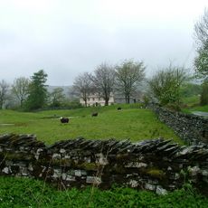
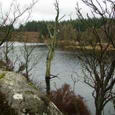
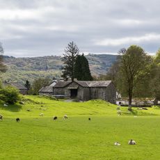
Gummer's How is a summit in the Lake District, Cumbria, rising to 321 meters with bare rock at the top and wooded slopes lower down. As you climb, the dense trees give way to open moorland before reaching the exposed peak.
Alfred Wainwright featured Gummer's How in his book "The Outlying Fells of Lakeland," describing it as a manageable climb for those new to the fells. His writing brought wider attention to the summit and helped establish it as a popular starting point for walkers.
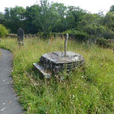
The name "Gummer's How" comes from Old Norse, where "how" means a small hill or high place. This kind of name is common across the Lake District, left behind by Norse settlers who farmed and lived here during the medieval period.
The walk starts from Astley's Plantation car park, where a clear path with built-in steps leads through the woodland section. Solid footwear is a good idea, as the upper part of the route crosses open moorland that can be windy and wet.
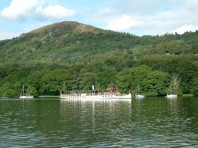
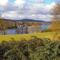
On a clear day, the view from the top takes in both Windermere and the distant Morecambe Bay, which is unusual for a summit at this height. The triangulation point at the top marks the exact highest spot and is a handy landmark once you reach the open rock.
The community of curious travelers
AroundUs brings together thousands of curated places, local tips, and hidden gems, enriched daily by 60,000 contributors worldwide.