
Leeswood, village in Flintshire, Wales, UK
Location: Leeswood and Pontblyddyn
GPS coordinates: 53.13300,-3.09500
Latest update: March 3, 2025 14:33
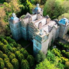
Plas Teg
1.9 km
Caergwrle Castle
4.8 km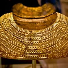
Mold gold cape
4.6 km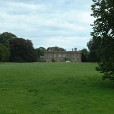
Leeswood Hall
2 km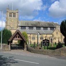
St Matthew's Church
4.9 km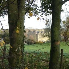
Nerquis Hall
2.8 km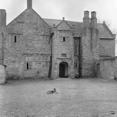
Fferm Farmhouse
1.1 km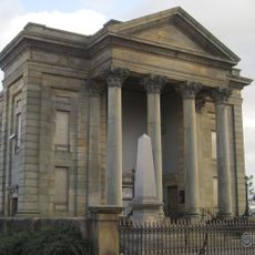
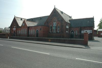
Bethesda Chapel
4.8 km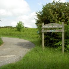
Waun-Y-Llyn Country Park
2.4 km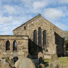
Emmanuel Church
3.9 km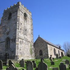
St Cyngar's Church
4.5 km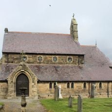
St Mary's Church
2.5 km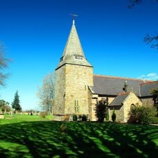
St Mary's Parish Church,
3.4 km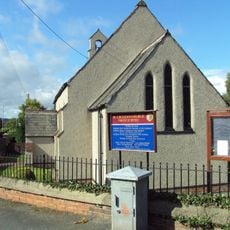
St. Cecilia's Church
3.9 km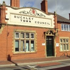
Buckley Town Council Offices and Library
4 km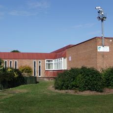
Mynydd Isa Library
4.1 km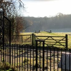
Bridge over River Terrig at former N Driveway to Leeswood Hall
2.3 km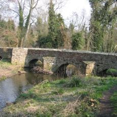
Pack Horse Bridge, Hope, Flintshire
4.5 km
Former Prison Gatehouse & Governor's Residence (Now Greystones & St.David's) Upper Bryn Coch
4.8 km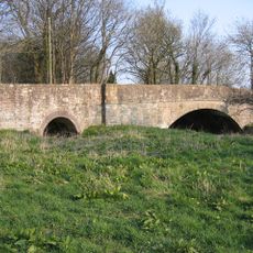
Llong Bridge
2.4 km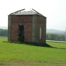
Former Dovecote S of Leeswood Hall
1.9 km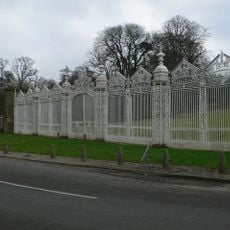
White Gates, Screens And Piers Nw Of Leeswood Hall
2.3 km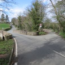
Pont Terrig, Ffordd Nercwys, Pentre
3 km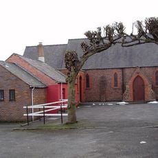
All Saints
4.1 km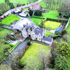
Former Prison Workshop to Rear of Greystones& St.David's,Upper Bryn Coch
4.8 km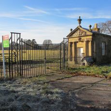
Pair Of Lodges Flanking N Driveway To Leeswood Hall
2.4 km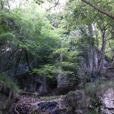
Pair of Lime Kilns at Ffrith Quarry
4.6 km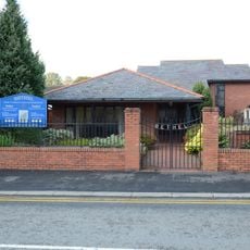
Bethel Welsh Independent Chapel
4.9 kmVisited this place? Tap the stars to rate it and share your experience / photos with the community! Try now! You can cancel it anytime.
Discover hidden gems everywhere you go!
From secret cafés to breathtaking viewpoints, skip the crowded tourist spots and find places that match your style. Our app makes it easy with voice search, smart filtering, route optimization, and insider tips from travelers worldwide. Download now for the complete mobile experience.

A unique approach to discovering new places❞
— Le Figaro
All the places worth exploring❞
— France Info
A tailor-made excursion in just a few clicks❞
— 20 Minutes