Clwydian Range, Mountain range in North East Wales, United Kingdom.
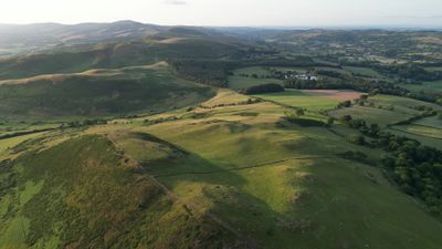
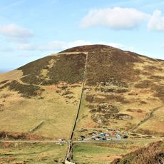
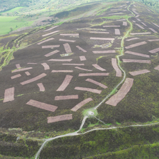
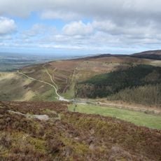
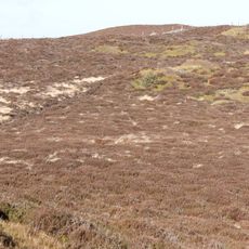
The Clwydian Range is a chain of hills in North East Wales, running from Prestatyn in the north to Llangollen in the south, covered largely in open heather moorland and patchy woodland. The highest point is Moel Famau, which rises to 554 meters, overlooking the Vale of Clwyd to the west and the Irish Sea to the north.
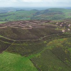
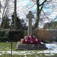
Six Iron Age hillforts were built across the summits, and burial mounds dot the ridgeline, pointing to centuries of settlement before written records began. Later, Offa's Dyke, an early medieval earthwork, was constructed along the eastern edge of the range to mark the boundary between England and Wales.
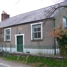
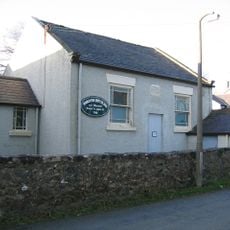
Many of the peaks carry Welsh names that describe the land itself, such as Moel Famau, which means "bare hill" in Welsh. Bilingual signs in Welsh and English appear throughout the area, reflecting how naturally the Welsh language is woven into everyday life here.
Most trails are accessible on foot, though some sections cross open moorland where the ground can be boggy and winds pick up quickly, so sturdy footwear is a good idea. The Offa's Dyke Path and the Clwydian Way both pass through the area, making it straightforward to plan walks of different lengths.
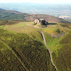
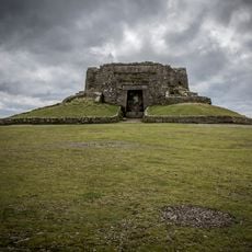
At the top of Moel Famau stand the remains of a Jubilee Tower, built in 1810 to mark the 50th year of King George III's reign, but it collapsed before it was ever finished. Only the base survives today, and it has become one of the most recognizable landmarks along the ridge.
The community of curious travelers
AroundUs brings together thousands of curated places, local tips, and hidden gems, enriched daily by 60,000 contributors worldwide.